Tannheimer Tal
Enziansteig-Krinnenspitze
Tour-Details
Paths covering:
Short description:
A strenuous hike, which brings countless impressions with it.
Technique: ****
Quality of experience: ****
Recommended season:
- May
- June
- July
- August
- September
- October
Properties:
- Loop
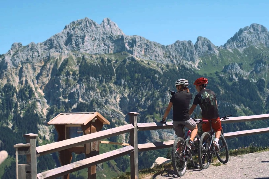
- Scenic
- Refreshment stops available
Description:
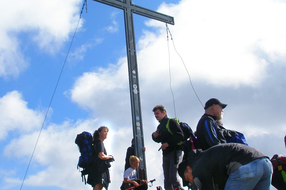
From Nesselwängle to the end of the Tannheimer Tal. There you go briskly uphill along the Enziansteig, after a stop at the Gräner Ödenalpe further to the Krinnenspitze. From the top station of the lift back over the Meranersteig to the car park.
Directions:
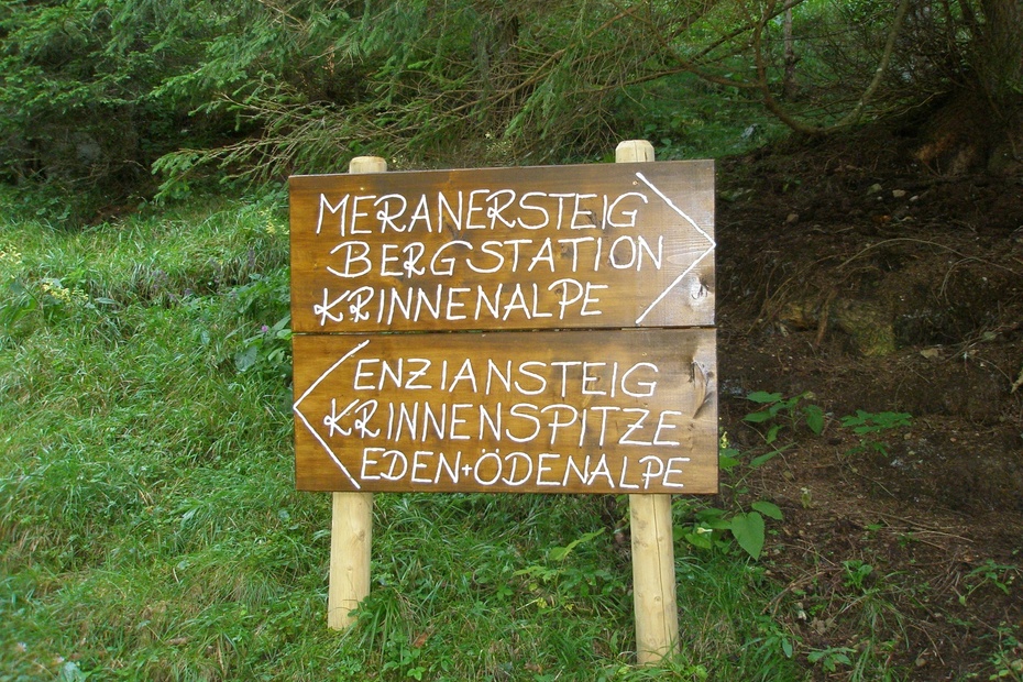
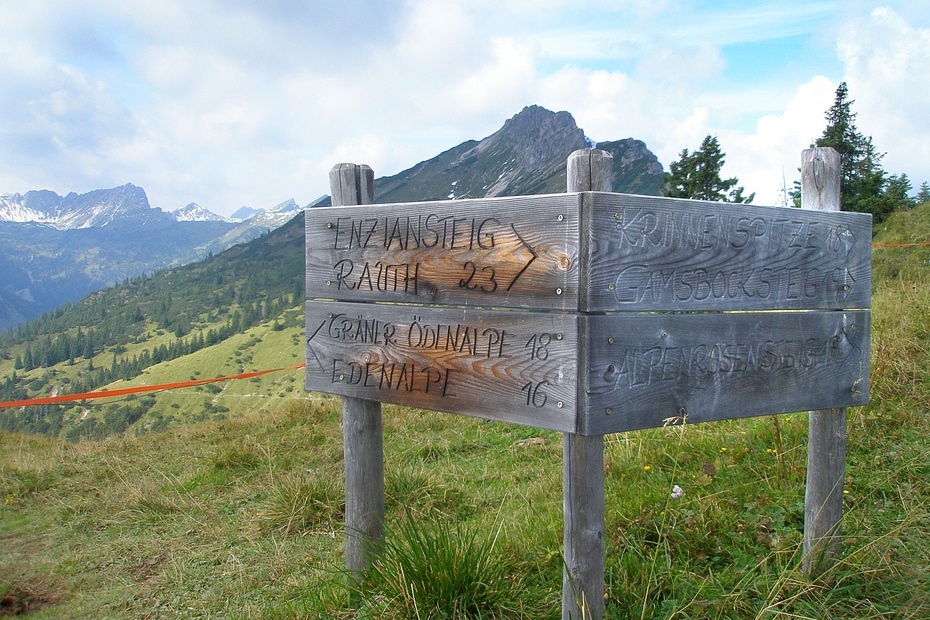
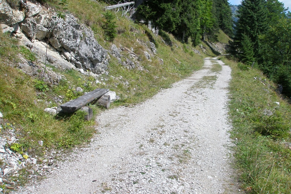
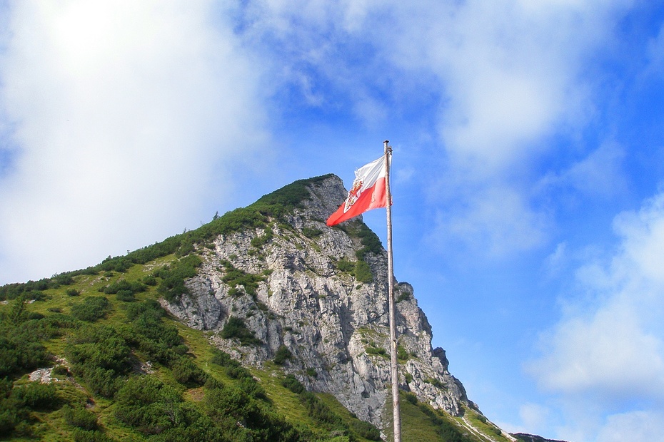
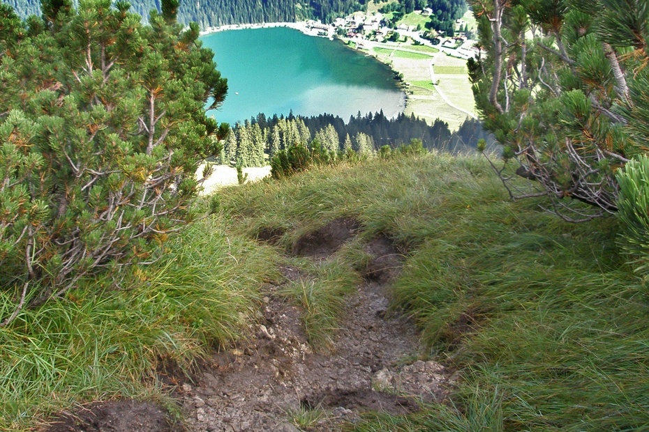
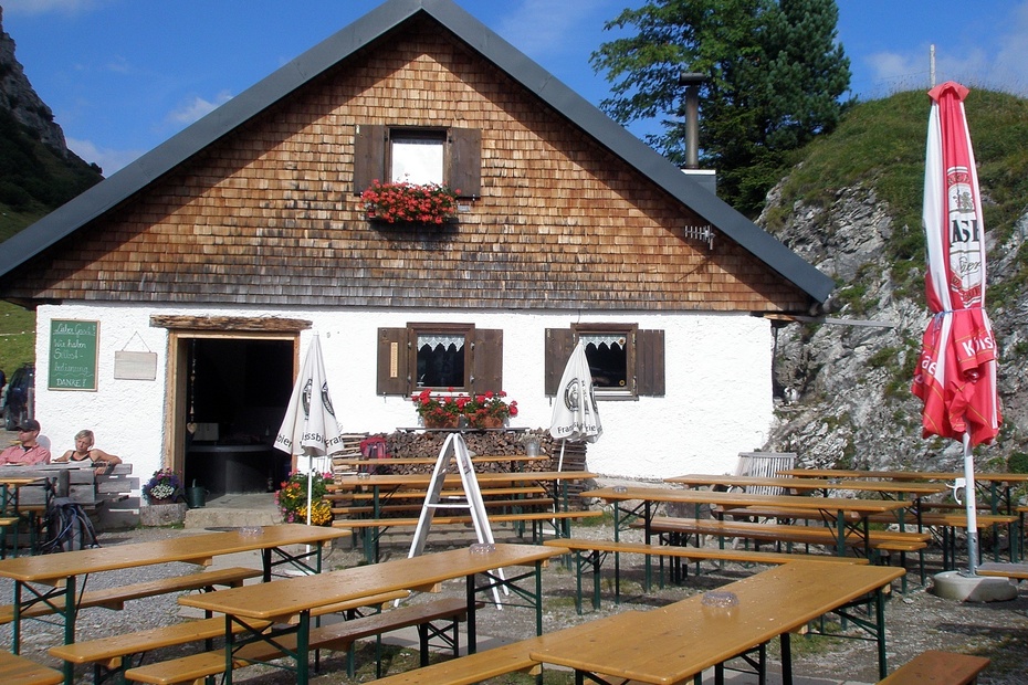
This tour starts at the car park between Nesselwängle and Rauth. In the direction of Nesselwängle there is an underpass to the opposite side of the road. Once there, turn left towards Rauth. First on a gravel path, past a chapel, then on asphalt we soon reach the houses in Rauth. In the centre of the village the signpost to the "Enziansteig" points to the top right. Through the forest, crossing the forest road, then on the somewhat steeper slope covered with grass below the Krinnenspitze, we quickly gain height. On the saddle, at the turn-off to Gräner Ödenalpe, we turn left downhill. After the detour to the hut, we hike uphill to the summit of Krinnenspitze. The Krinnenspitze is not too high, but the view compensates for the altitude difference. Via the somewhat steeper Alpenrosensteig we reach the Alpenrosenweg and further on to the Krinnenalpe. From here we go to the top station of the Krinnenalpbahn and further to the right to the Meranersteig. On this path we reach the forest path to Rauth. Now the asphalt road, which we already know, downhill and the short stretch of gravel path, then we have reached the Pakplatz east of Nesselwängle again.
Tip:
Strong farmer's soup on the Gräner Ödenalpe.
Safety guidelines:
General valid and customary rules of conduct. It should be noted that mountaineering may involve an increased risk of accidents and injuries. Despite careful route planning, a basic risk always remains. Tour preparation through endurance sports, appropriate technical training and further education as well as personal prudence reduces the risk of accidents and injuries. But please never forget that the weather in the mountains can change very quickly. Stay on the marked hiking trails.
Equipment:
Personal mountaineering equipment must be safe and serviceable and must meet the relevant technical standards. Every hiker is recommended to obtain information about the planned tours from alpine technical literature or on site.
Additional information:
Tourist office Tannheimer Tal
Krinnenalpe
Gräner Ödenalpe
Getting there
On the motorway A7 at the exit "Oy-Mittelberg" on the B310 towards Wertach and to Oberjoch. There follow the signposting "Tannheimer Tal" B199, exit Nesselwängle, parking lot east of Nesselwängle.From the Tyrolean side via Reutte on the B198 towards Lechtal to Weißenbach, over the Gaichtpass along the B199 to the exit Nesselwängle, car park east of Nesselwängle.
Public Transit
By train to Sonthofen, Pfronten/Ried or Reutte, then by bus to Nesselwängle.
Parking
East car park in Nesselwängle.
- Spring
- Summer
- Autumn
Informationsbüro Nesselwängle
Hnr. 74
6672 Nesselwängle
