Tannheimer Tal
Gimpelhaus
Tour-Details
Paths covering:
Short description:
A wonderful hike to the foot of the climbing mountains of the Tannheim group.
Technique: ****
Quality of experience: ******
Recommended season:
- May
- June
- July
- August
- September
- October
Properties:
- Loop
- Scenic
- Refreshment stops available
Description:
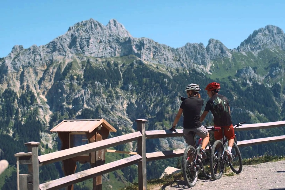
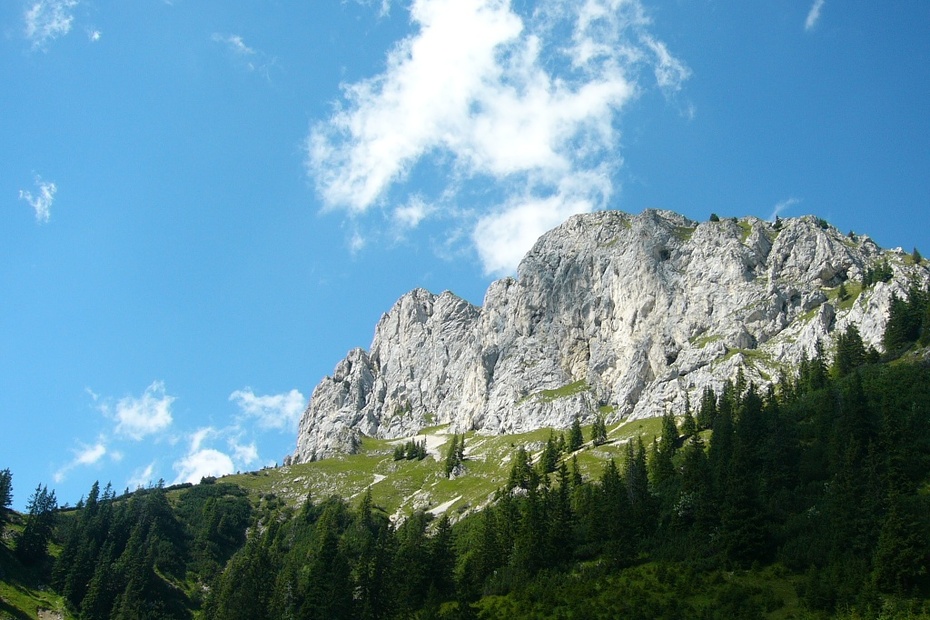
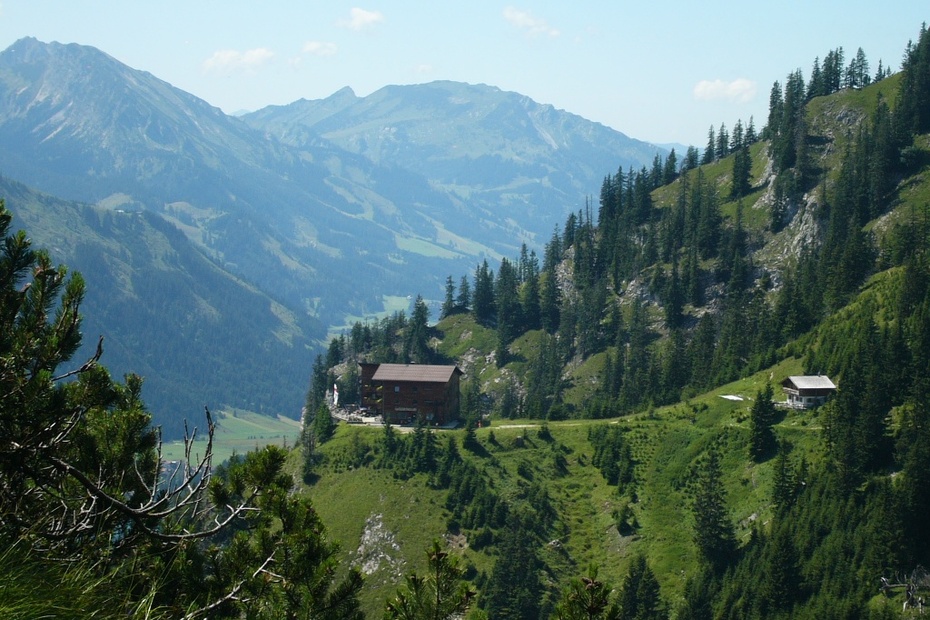
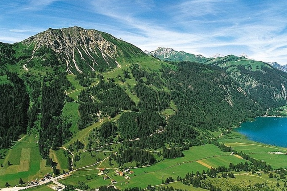
From the west car park in Nesselwängle, the road above the village is relatively flat for about 1 km in an easterly direction. Then the path leads serpentine with a few steps, but easily accessible, to the Gimpelhaus. The hike is rewarded with great views. Also the Gimpelhaus with its architecture and furnishing would not necessarily be expected up here. The climbing mountains of the Tannheimer group in the background of the Gimpelhaus do their part to make this point of the Tannheimer Tal look so beautiful. The Gimpelhaus is starting point for many hikes, mountain and climbing tours. Gimpel and Rote Flüh, Friedberger Klettersteig or the Klettersteig at the Köllenspitze and the surrounding huts are only a few of them. The descent to Nesselwängle is along the same path we came, because the way over the Schneetalalm seems too far to us.
Directions:
The west parking in Nesselwängle seems to be large enough to accommodate the rush of parked cars. But on some days the adjacent fields have to serve as parking area. What is going on here, why does everything concentrate on this point on nice days? The answer is to be found 500 meters further up. Under the mighty rock walls of the Tannheim group, clearly visible, is the Gimpelhaus. And exactly this Gimpelhaus is also the destination of our hike today.
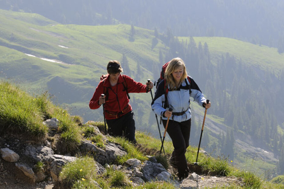
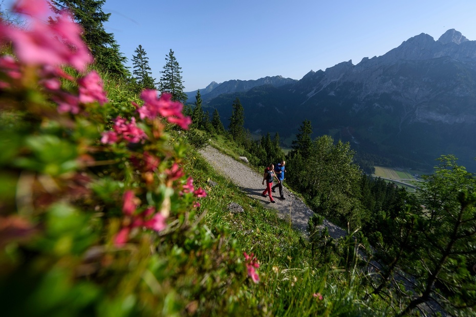
The path is well signposted, and already trodden in the ground, with so many shoes that have already walked here. From the parking lot it goes uphill a short distance and brings us quickly over the houses of Nesselwängle. We turn right and look down again and again to Nesselwängle. This part of the path is for warming up and runs without a big difference in altitude. Again and again we look up, well knowing that this height must be overcome at some point. And indeed, nice and slowly it starts to go up.The path gets steeper and steeper until it continues only by means of serpentines with some stairs. Further up, the forest gives a view into the valley, we see how fast we have gained height. But there is still a good piece of path in front of us. With some short breaks, peppered with explanations of the mountain world around us, we manage the rest of the way. More or less exhausted we first take a seat in front of the hut and enjoy the view.Only now do we notice that the term "hut" is not quite appropriate. After the former Gimpelhaus burned down, this beautiful and modern house was built up here. Not only the view into the valley is breathtaking, also the view up the rock faces at the back with countless climbing tours amazes us. Also the Friedberger Klettersteig can be walked from this side.The way up to the summit would be too far, so we decide to start the way back after a longer rest in the Gimpelhaus. The shoes will be laced a little tighter, as we were recommended to do for going downhill. There is not only the way we came, back to the valley, but it is the shortest one. So we walk this way downhill again. Some of our group talk about their impressions of the day and so time flies.Even if the hike to the Gimpelhaus is signposted with approximately 2 hours, one feels in view of the steepness of the terrain that one should not take the ascent lightly. Also the descent is clearly noticeable in the musculature. Once again we have a look up to the Gimpelhaus before we say goodbye and agree that it was a successful day in the mountains.
Tip:
Enjoy your stay at the House of the Bullfinches...
Safety guidelines:
It should be noted that in mountaineering there is an increased risk of accidents and injuries. Despite careful route planning, a basic risk always remains. Tour preparation through endurance sports, appropriate technical training and further education as well as personal prudence reduces the danger of accidents and risks. However, please never forget that the weather in the mountains can change very quickly. Stay on the marked hiking trails.
Equipment:
The personal mountaineering equipment must be safe and serviceable and meet the relevant technical standards. Every hiker is recommended to obtain information about the planned tours from specialist alpine literature or on site.
Additional information:
Tourismusverband Tannheimer Tal
Getting there
On the motorway A7 at the exit "Oy-Mittelberg" on the B310 towards Wertach and to Oberjoch. There follow the signs "Tannheimer Tal" B199, exit Nesselwängle, to the Westparkplatz.From the Tyrolean side via Reutte on the B198 towards Lechtal to Weißenbach, over the Gaichtpass along the B199 to the exit Nesselwängle, to the west car park.
Public Transit
By train to Sonthofen, Pfronten/Ried or Reutte, then by bus to Nesselwängle.
Parking
West parking in Nesselwängle - parking fee
- Spring
- Summer
- Autumn
Informationsbüro Nesselwängle
Hnr. 74
6672 Nesselwängle
