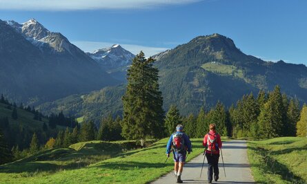
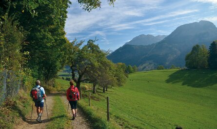
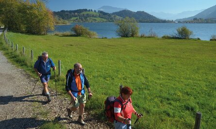
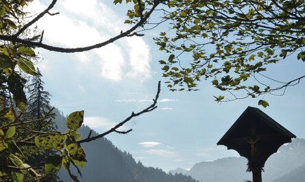
The stages of the Way of St James
Filter entries
8 of 8 entries
Hiking trail
Pilgrimage Route Stage 1 Stams - Nassereith
Start: Stams
Difficulty: Medium
Duration: 5 h 30 m
Length: 17,94 km
Altitude:
Uphill 640 m / Downhill 458 m
Theme street
St. James Way Stage 2 Nassereith - Lermoos
Start: Nassereith
Difficulty: Medium
Duration: 5 h 30 m
Length: 19,24 km
Altitude:
Uphill 512 m / Downhill 353 m
Theme street
Jakobsweg Stage 3 Lermoos - Berwang
Start: Lermoos
Difficulty: Medium
Duration: 3 h 30 m
Length: 14,13 km
Altitude:
Uphill 612 m / Downhill 129 m
Hiking trail
Jakobsweg Stage 4 Berwang - Haldensee
Start: Berwang
Difficulty: Medium
Duration: 7 h 30 m
Length: 24,85 km
Altitude:
Uphill 367 m / Downhill 768 m
Theme street
Jakobsweg stage 5 Haldensee - Bad Hindelang
Start: Grän
Difficulty: Medium
Duration: 5 h 30 m
Length: 19,82 km
Altitude:
Uphill 284 m / Downhill 592 m
Theme street
Jacob's Way stage 6 Bad Hindelang - Immenstadt/Bühl
Start: Bad Hindelang
Difficulty: Medium
Duration: 5 h 30 m
Length: 21,35 km
Altitude:
Uphill 310 m / Downhill 405 m
Hiking trail
Jakobsweg Stage 7 Immenstadt/Bühl - Oberstaufen/Zell
Start: Immenstadt in Allgäu
Difficulty: Medium
Duration: 4 h 30 m
Length: 17,26 km
Altitude:
Uphill 124 m / Downhill 46 m
Hiking trail
Tyrol-Allgäu way of St. James
Start: Stams
Difficulty: Medium
Duration: 36 h 19 m
Length: 133,76 km
Altitude:
Uphill 2628 m / Downhill 2477 m
