Road bike tour
Steeg-Kaisers
Tour details
Location: Tannheim
Difficulty: Medium
Duration: 4 h 40 m
Length: 118,33 km
Altitude difference (uphill): 1247 m
Altitude difference (downhill): 1205 m
Highest point: 1480 m
Lowest point: 881 m
Information & interesting facts
Short description:
Dreamlike route into the beautiful Lech Valley, enjoy the stunning landscapes of the Tiroler Lech Nature Park region.
Dreamlike route into the beautiful Lech Valley, enjoy the stunning landscapes of the Tiroler Lech Nature Park region.
Technique: ****
Quality of experience: ******
Recommended season:
- April
- May
- June
- July
- August
- September
- October
Properties:
- Loop
- Scenic
- Refreshment stops available
- Geological highlights
- Botanical highlights
- Faunistic highlights
Description:
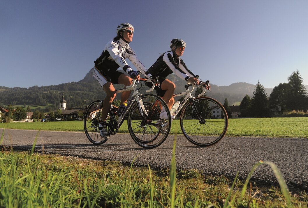
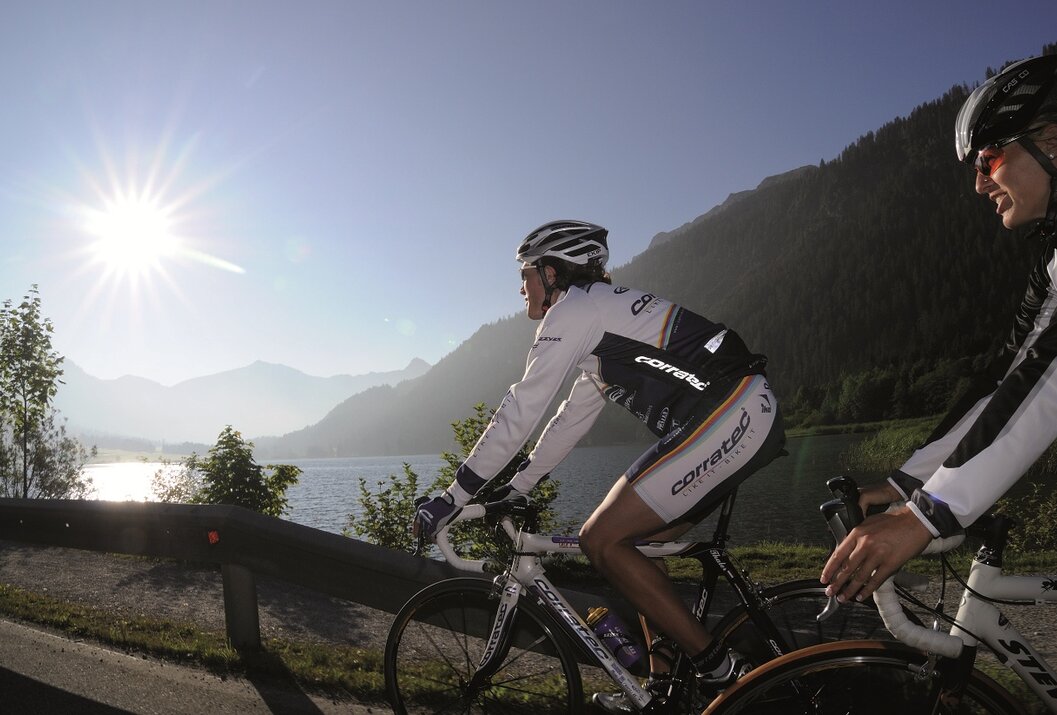
Among cyclists, the Tannheimer Tal has been well known for some time, as in 2001 the peloton of the Austrian Cycling Tour passed through the valley. In 2005, professional cyclists from the Bayern Rundfahrt came during the opening stage on Tyrolean soil and were rewarded with the Tannheimer Tal mountain classification and the Jungholz mountain classification. Even professionals were captivated by the scenic charms of the "probably most beautiful high valley in Europe." Lush green meadows, Lake Haldensee, and a beautiful mountain backdrop accompanied the pros on their competition kilometers. Thus, the Tannheimer Tal has also established itself as an ideal region for targeted training or extensive routes. "The Tannheimer Tal is an ideal starting point for long road bike rides to surrounding regions such as Lake Constance or the Arlberg," says Michael Keller, managing director of the Tannheimer Tal Tourist Board and former mountain bike national coach of Austria. Cyclists find not only the ideal starting point but also a wide range of accommodations in the Tannheimer Tal. From 5-star hotels to private rooms, you can choose your accommodation. After a beautiful ride, relax your soul and recharge your strength. - The Tannheimer Tal
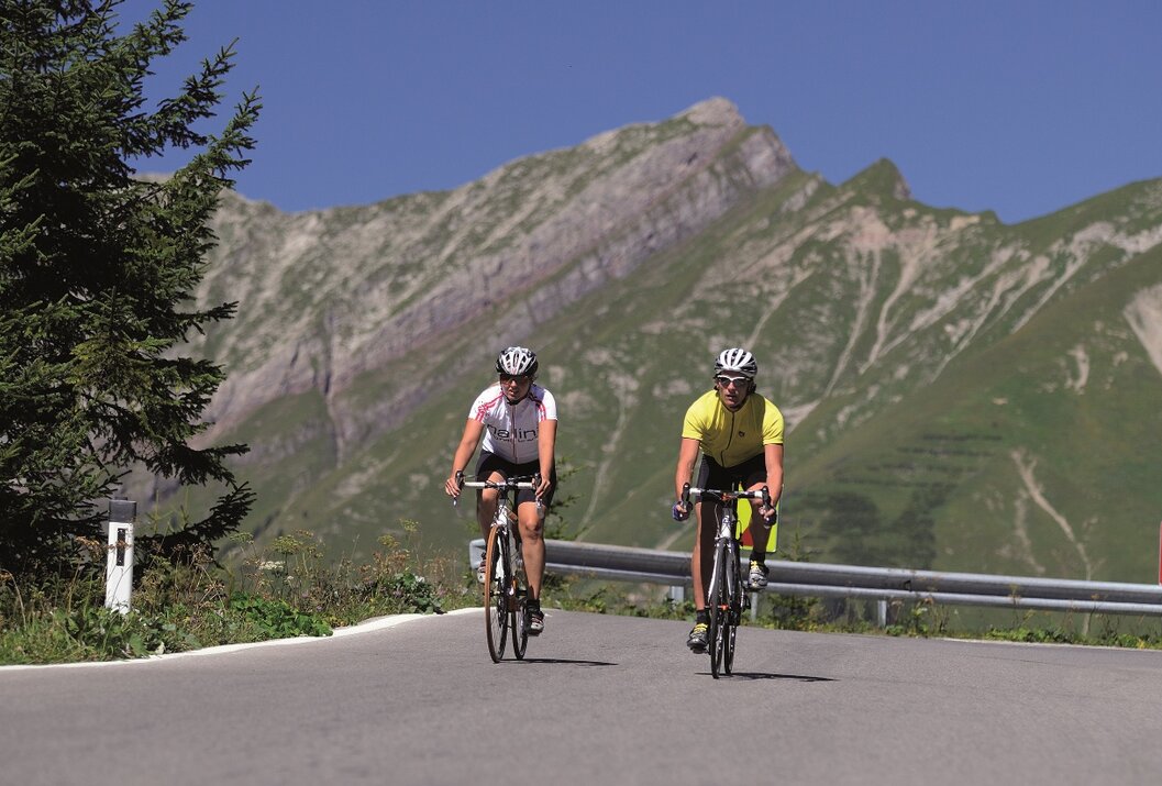
Start at the tourist information center in Tannheim heading east, passing Nesselwängle over the Gaicht Pass to Weißenbach. At the roundabout, turn right into the Lech Valley, passing Forchach and continuing on the gently ascending B 198. After Stanzach, turn right towards Vorderhornbach. Follow the road towards Martinau/Elmen. Cross the Lech bridge and turn right towards Elmen. Continue on the federal road to Steeg. In Steeg, turn left; a 4.4-kilometer climb follows with 400 meters of elevation gain and a maximum gradient of 15% to Kaisers. Upon reaching Kaisers, return the same way to Weißenbach and at the roundabout, turn right into the Tannheimer Tal and back to the starting point.Safety guidelines:
The Road Traffic Regulations (StVO) apply. Generally valid and usual rules of conduct.
It should be noted that road cycling can involve an increased risk of accidents and injuries. Despite careful route planning, a basic risk always remains. Route preparation through endurance sports, appropriate training, further education, and personal prudence reduces the risk of accidents and their dangers.Equipment:
Personal equipment must be safe, usable, and meet the respective technical standards. Every road cyclist is recommended to inform themselves about the planned routes through specialist literature or on site.
Complete road bike equipment is absolutely recommended even for experienced riders!Additional information:
Tannheimer Tal Tourist Board,
Among cyclists, the Tannheimer Tal has been well known for some time, as in 2001 the peloton of the Austrian Cycling Tour passed through the valley. In 2005, professional cyclists from the Bayern Rundfahrt came during the opening stage on Tyrolean soil and were rewarded with the Tannheimer Tal mountain classification and the Jungholz mountain classification. Even professionals were captivated by the scenic charms of the "probably most beautiful high valley in Europe." Lush green meadows, Lake Haldensee, and a beautiful mountain backdrop accompanied the pros on their competition kilometers. Thus, the Tannheimer Tal has also established itself as an ideal region for targeted training or extensive routes. "The Tannheimer Tal is an ideal starting point for long road bike rides to surrounding regions such as Lake Constance or the Arlberg," says Michael Keller, managing director of the Tannheimer Tal Tourist Board and former mountain bike national coach of Austria. Cyclists find not only the ideal starting point but also a wide range of accommodations in the Tannheimer Tal. From 5-star hotels to private rooms, you can choose your accommodation. After a beautiful ride, relax your soul and recharge your strength. - The Tannheimer Tal
Road bike booklet "The most beautiful road bike routes around the Tannheimer Tal".
Available at all tourist offices in the Tannheimer Tal and Jungholz.
Directions:Start at the tourist information center in Tannheim heading east, passing Nesselwängle over the Gaicht Pass to Weißenbach. At the roundabout, turn right into the Lech Valley, passing Forchach and continuing on the gently ascending B 198. After Stanzach, turn right towards Vorderhornbach. Follow the road towards Martinau/Elmen. Cross the Lech bridge and turn right towards Elmen. Continue on the federal road to Steeg. In Steeg, turn left; a 4.4-kilometer climb follows with 400 meters of elevation gain and a maximum gradient of 15% to Kaisers. Upon reaching Kaisers, return the same way to Weißenbach and at the roundabout, turn right into the Tannheimer Tal and back to the starting point.Safety guidelines:
The Road Traffic Regulations (StVO) apply. Generally valid and usual rules of conduct.
It should be noted that road cycling can involve an increased risk of accidents and injuries. Despite careful route planning, a basic risk always remains. Route preparation through endurance sports, appropriate training, further education, and personal prudence reduces the risk of accidents and their dangers.Equipment:
Personal equipment must be safe, usable, and meet the respective technical standards. Every road cyclist is recommended to inform themselves about the planned routes through specialist literature or on site.
Complete road bike equipment is absolutely recommended even for experienced riders!Additional information:
Tannheimer Tal Tourist Board,
Starting point: Tannheim
Destination: Tannheim
Getting there
On the A7 motorway at the "Oy-Mittelberg" exit, take the B310 towards Wertach and then to Oberjoch. There, follow the signposts "Tannheimer Tal" B199, exit Tannheim. From the Tyrolean side, via Reutte on the B198 towards Lech Valley to Weißenbach, over the Gaicht Pass along the B199 to the Tannheim exit.
Public Transit
By train to Sonthofen, Pfronten/Ried, or Reutte, then by bus to Tannheim.
Parking
Parking at the Neunerköpfle gondola in Tannheim – subject to charge.
Favorable season
Spring
Summer
Autumn
Steeg-Kaisers
Informationsbüro Tannheim
Vilsalpseestraße 1
6675 Tannheim
