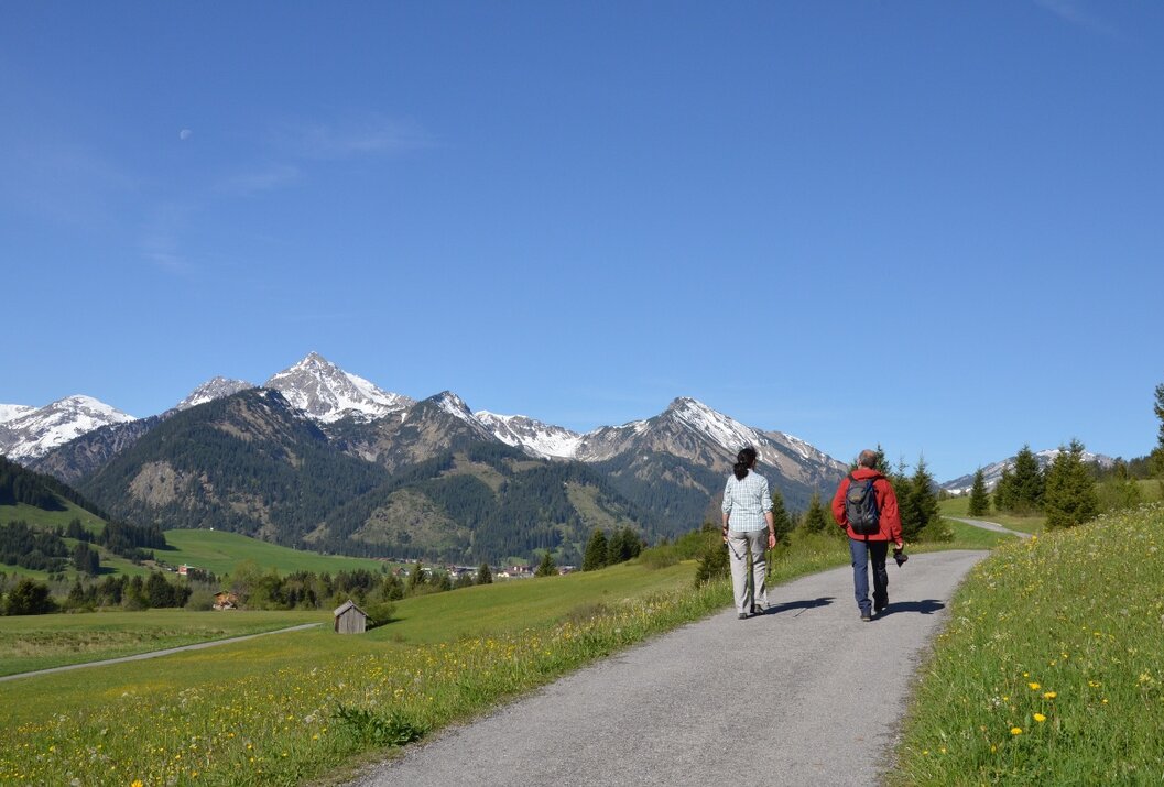
Circular hiking trail Tannheimer Tal Route No. 1
Information & interesting facts
A varied circular hiking route through the Tannheimer Tal.
Recommended season:
- April
- May
- June
- July
- August
- September
- October
- Round trip
- Loop
- Scenic
- Refreshment stops available
- Family friendly
- Botanical highlights
- Faunistic highlights
- Suitable for strollers
- Disability access
Along the circular hiking trail, you can leisurely explore the "most beautiful high valley in Europe." Along the way, there are numerous places to stop for a meal or relaxing spots that invite you to linger and enjoy.
The barrier-free paths and excursion destinations we have selected also invite families and people with mobility aids to discover: they are mostly paved or well-graveled and usually easily navigable with a stroller or wheelchair – although at certain sections, a helping hand may be advantageous.Directions:
From Tannheim above the main road to Haldensee, about 1 hour. Continue along the southern shore of Haldensee, past the Nesselwängler Schmitte and further until shortly before the Rauth junction, about 1 1/2 hours. At the underpass of the cycling and hiking trail, the circular hiking route leads back above to Nesselwängle, about 1/2 hour, further to Haller, approx. 1/2 hour, and along the northern shore of Haldensee to Grän, about 1 hour. From here on the sunny side along the high trail through Berg to Zöblen, about 1 1/2 hours, further via Kappl in the direction of Vilstal. Along the Vils, past the large panorama board, see signpost, about 100 m back, across the two large wooden bridges crossing the Vils and on the other side about 100 meters steeply ascending in height to Rehbach (not stroller suitable), about 2 hours. From Rehbach first on the asphalt road and then on the meadow path to the reservoir, further to Schattwald and Zöblen Katzensteig and over the Rohnenwiesen past Höfersee back to Tannheim, about 2 1/2 hours. The total walking time is about 10 1/2 hours.
Safety guidelines:No special safety instructions to observe. Good footwear, possibly pay attention to sun or rain protection, and bring something to drink.Equipment:
A modern and well-maintained/serviced equipment (shoes, poles, and clothing) not only provides a significant level of safety but also makes hiking much easier. Sun protection (high protection factor and possibly sunglasses) as well as sufficient fluid should not be forgotten.Additional information:
Tourismusverband Tannheimer Tal
On the A7 motorway at the "Oy-Mittelberg" exit onto the B310 towards Wertach and Oberjoch. Follow the signs for "Tannheimer Tal" B199, exit Tannheim. From the Tyrolean side via Reutte on B198 towards Lechtal to Weißenbach, along the Gaichtpass on B199 to the exit Tannheim.
Public Transit
By train to Sonthofen, Pfronten/Ried or Reutte, then by bus to Tannheim.
Parking
Public parking spaces in Tannheim - paid
Circular hiking trail Tannheimer Tal Route No. 1
Informationsbüro Tannheim
Vilsalpseestraße 1
6675 Tannheim
