Wannenjoch - Iseler
Information & interesting facts
A hike following the traces of the "old smugglers"
Recommended season:
- May
- June
- July
- August
- September
- October
- Loop
- Scenic
- Refreshment stops available
- Family friendly
- Cableway ascent/descent
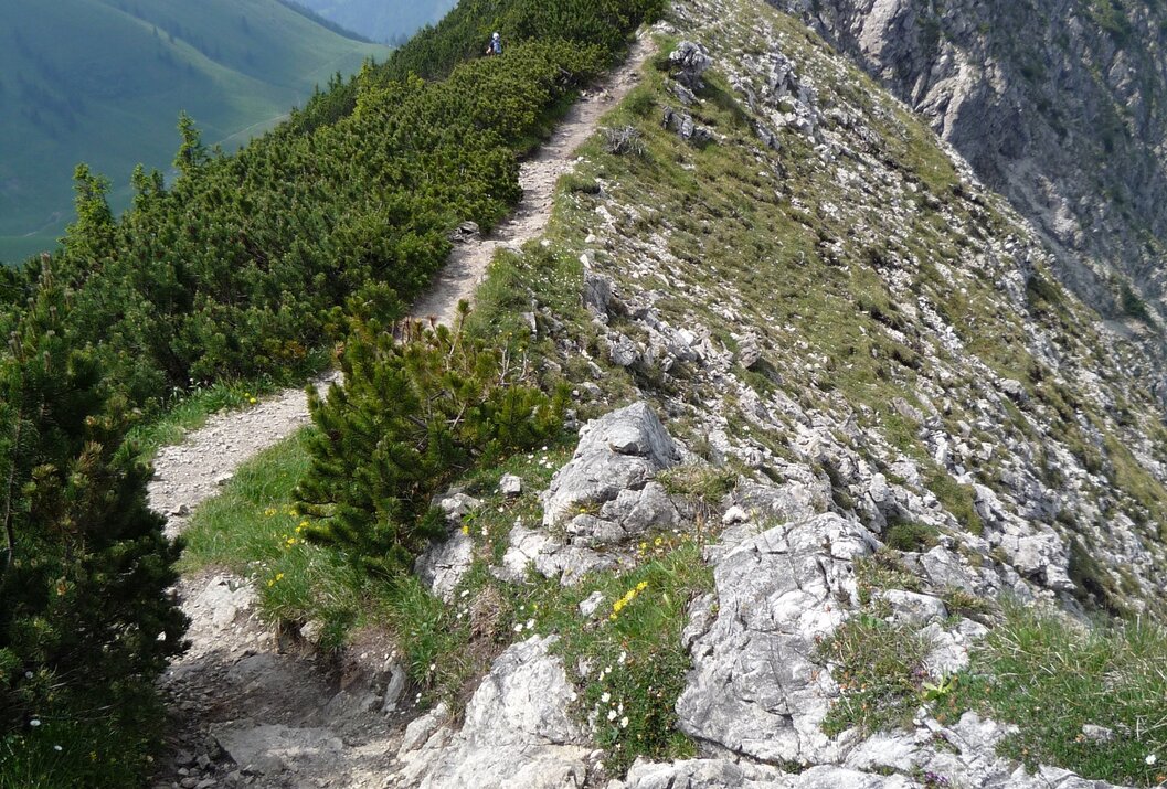
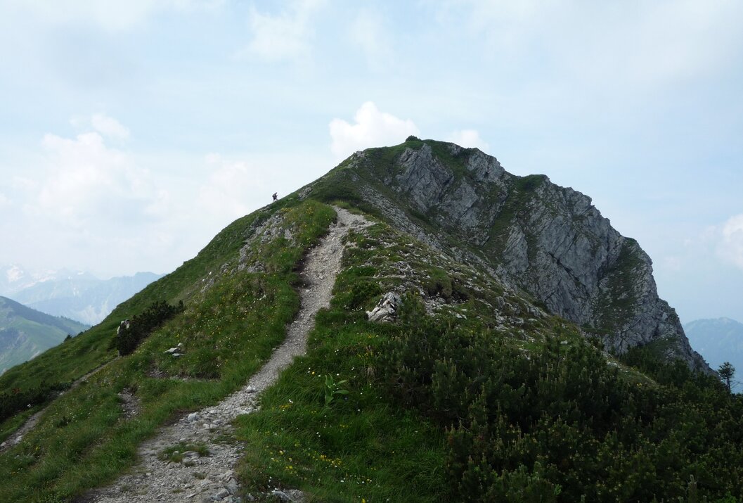
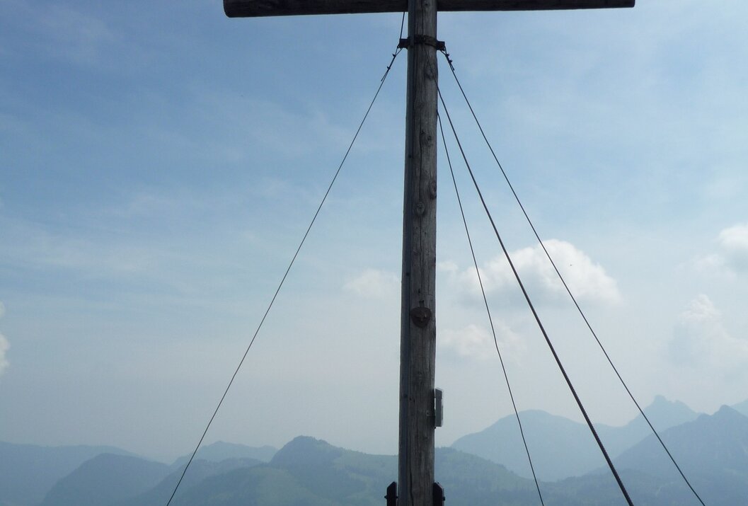
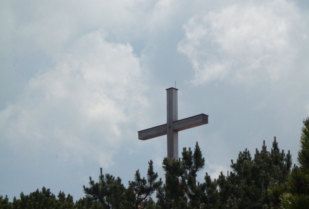
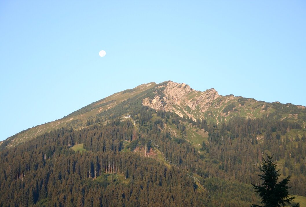
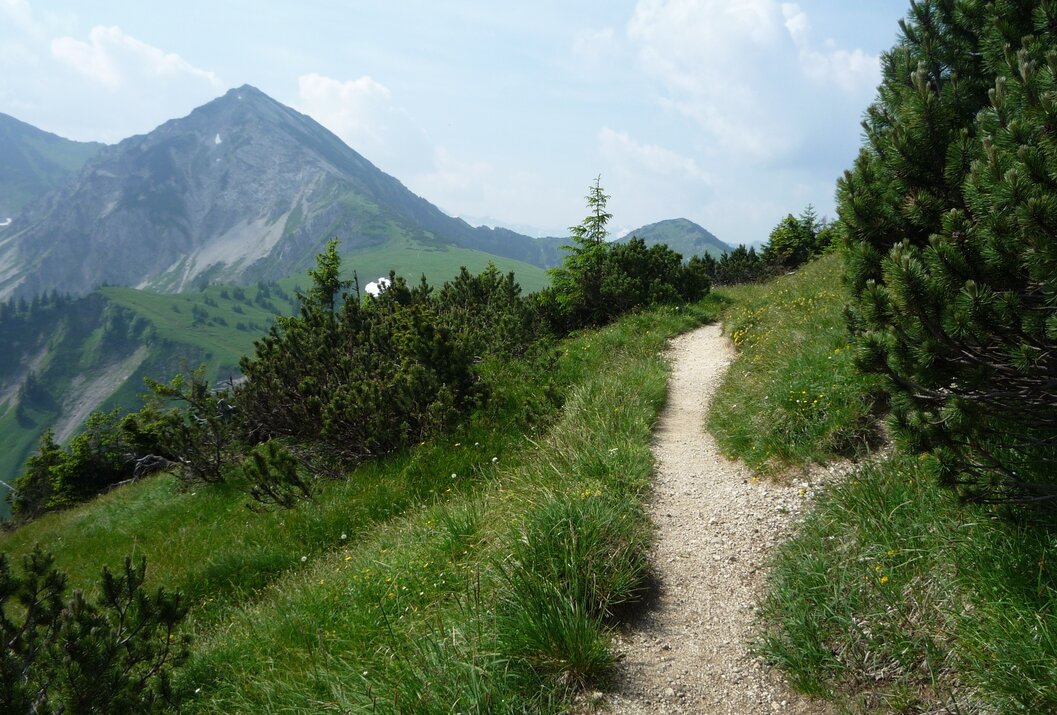
We are already standing at the mountain station of the Wannenjochbahn in Schattwald. The hiking trail is well signposted and already somewhat worn. The slope is moderately steep and can be walked without great difficulty. We quickly gain altitude and have already left the last dwarf pines behind us. Relatively late we see the summit cross, so the summit is reached after only a few minutes. At an altitude of 1852 m, we have an impressive view, almost to Lake Constance. The path continues now partly along the ridge. Moderate ups and downs, but maintaining the altitude and still with an impressive view. After almost an hour we reach the Iseler. After a break, we start the descent over the grass-covered slope to the saddle between Wannenjoch and Bscheißer. Looking towards the Wannenjoch, we see a straight clearing. Here runs the border between Austria and Germany.
On the return journey we hike past the Zipfelsalpe and finally to the Stuibenalpe. From there we walk back along the Stuibenbach to Schattwald.
On the ridge of the Wannenjoch, the name comes from the basin below the saddle, runs the border with Germany. Often this mountain is shown on maps as Kühgundkopf with Kühgundrücken. We meet at the mountain station of the Wannenjochbahn in Schattwald. It is still a bit cool in the early morning hours, but the sun rays already warm us up here. The view over the whole Tannheimer Tal and into the Allgäu is already fantastic, how wonderful must this view be on the summit? The newly laid out "smuggler path," an easy hike for the whole family, starts right at the Stube 15.60, the place to eat by the mountain station. The self-built children's area also deserves a closer look. Few of us would have expected such a play area at this altitude.
The slope is moderately steep and can be walked without major difficulties. We gain more and more height, the last dwarf pines, commonly called "Latschen," have long been left behind. Sparse vegetation covers the slope, but these plants are typical for this region, and some are new to us. Occasionally the bare rock lies ahead – a clear sign of a snow slab avalanche in the past. With some attention, you can also see some animals, including vipers here. Relatively late, we see the summit cross, so we are already at the summit after just a few minutes. At an altitude of 1852 m we have an impressive view far into the Allgäu, starting with Oberjoch, and in good visibility almost to Lake Constance. Signing the summit register is a must, as well as having a snack at the summit. After a short break, we continue. Alpine choughs accompany us on our way, which partly runs on the ridge. Moderate ups and downs, but maintaining the height, after less than an hour we reach the Iseler. Now we can enjoy a long break. The sun rays invite us to take a little rest. The descent over the grass-covered slope leads us quickly down. We have already reached the vegetation line again and occasionally even hear marmots whistle. At a fork, a signpost points to the Zipfelsalpe. After a short group consultation, we decide to head further towards the Zipfelsalpe. On the saddle between Wannenjoch and Bscheißer, we still see the foundations of the upper Stuiben. There used to be a hut here, but it is no longer used and has therefore fallen into ruin. Looking towards the Wannenjoch, we see a straight clearing. Here runs the border between Austria and Germany. Upon reaching the Zipfelsalpe, we take a short break before continuing towards the Stuibenalpe. From there we decide to walk along the Stuibenbach towards the valley station. The farewell at the parking lot is almost a bit wistful but still makes us look forward to a reunion.
Short detour to the Stube 15.60,
stopover at the Zipfelsalpe
It should be noted that there is an increased risk of accidents and injuries in mountaineering. Despite careful route planning, there is always a base risk. Preparing for the route through endurance training, appropriate technical training and education, as well as personal caution reduces the risk of accidents and dangers. But never forget that the weather in the mountains can change very quickly. Stay on the marked hiking trails.
Equipment:Personal mountaineering equipment must be safe and usable and meet the current technical standards. Every hiker is advised to inform themselves about the planned routes in alpine specialist literature or on site.
Additional information:Tourismusverband Tannheimer Tal
Sessellift Wannenjoch
On the A7 motorway at the "Oy-Mittelberg" exit on the B310 towards Wertach and Oberjoch. There follow the signposts "Tannheimer Tal" B199, exit Schattwald, direction Wannenjoch cable car.
From the Tyrolean side via Reutte on the B198 towards Lechtal to Weißenbach, over the Gaichtpass along the B199 to exit Schattwald, direction Wannenjoch cable car.
Public Transit
By train to Sonthofen, Pfronten/Ried or Reutte, then by bus to Schattwald.
Parking
You can park at the Wannenjochbahn in Schattwald
Wannenjoch - Iseler
Informationsbüro Schattwald
Hnr. 41
6677 Schattwald

