Tannheimer Tal cycling path - bike touring
Information & interesting facts
Enjoy the Tannheimer Tal by bike.
Recommended season:
- May
- June
- July
- August
- September
- October
- Loop
- Scenic
- Refreshment stops available
- Family friendly
- Botanical highlights
- Faunistic highlights
For demanding bikers, there are 15 bike routes with a total of 150 kilometers, approved and uniformly signposted by the state of Tyrol. Additionally, the Tannheimer Tal is the starting point for the newly designed "Bike Trail Tirol". The large round tour with over 800 kilometers and many connecting stages with a further 500 kilometers are designed so that bikers can compose their own personal route.
Bike paths away from roads
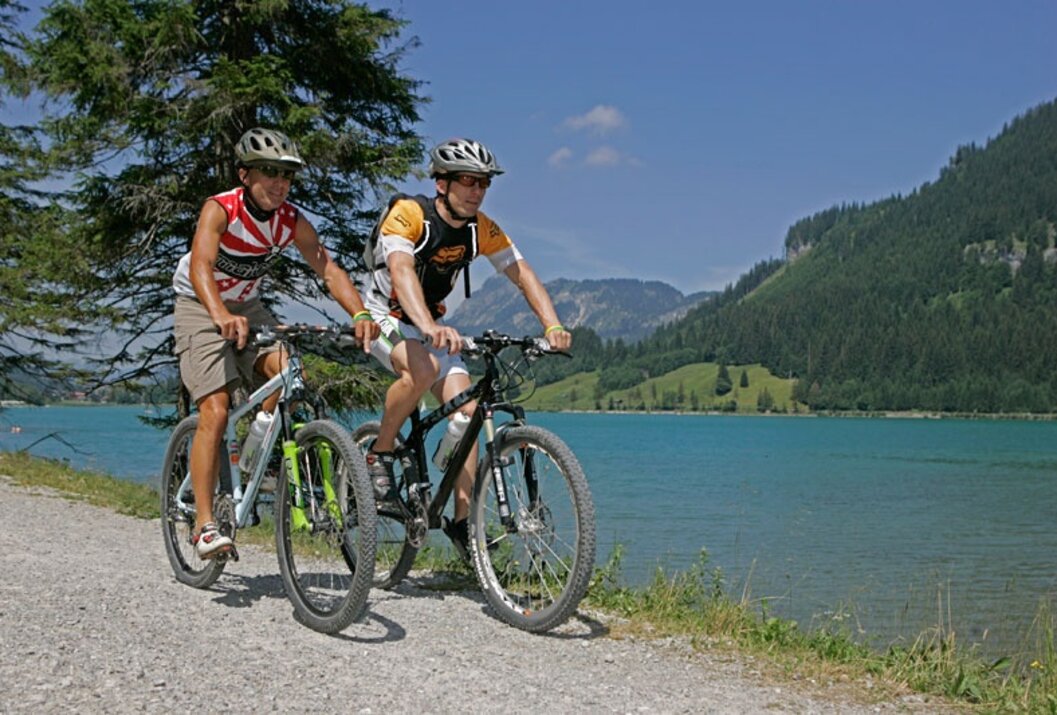
You can get to know the surroundings on the "Tannheimer Tal bike trail", which passes the most beautiful corners of the Tyrolean high valley over 40 kilometers. The bike paths are away from the main road and uniformly signposted. Via Schattwald towards Rehbach you can reach Ober- and Unterjoch in the Allgäu - pause for a moment at the Moorweiher "Floschen". Or cycle through Tannheim and Grän further on the new lakeside promenade at Haldensee to Nesselwängle. A detour to the Vilsalpsee nature reserve will surely please you.
The Tannheimer Tal Bike & Mountain Bike Map
On the Tannheimer Tal Bike & Mountain Bike Map, there are a total of 15 routes color-coded and numbered. Route descriptions, elevation profiles, lengths, and difficulty levels for each route are on the reverse side. All routes can be combined and are well signposted. Additionally, MTB tours in neighboring regions are shown. The blue marked routes are for the leisure riders. Red marked routes are medium difficulty and the black marking is a sporting challenge.
The bike & mountain bike map can be purchased from the Tannheimer Tal tourism association for €8.90.
Follow the color...
The right mix is the key - this also applies to the mountain bike offer in the Tyrolean Tannheimer Tal. Those who pedal here have the choice between 15 routes and over 300 mountain bike kilometers for every skill and fitness level. All routes are combinable and well marked.
Blue route - easy
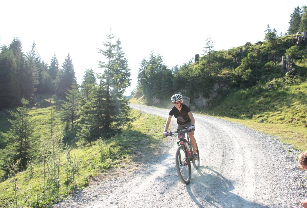
Mountain bike beginners or confident road riders and e-bikers follow the blue signage in the Tannheimer Tal. The consistently well rideable paths have only minimal climbs and are therefore ideal for family outings in the saddle, where monotony certainly does not occur: for example, the Kneipp round offers a refreshing descent depending on mood. Finally, the almost six kilometers and 198 meters of altitude are cycled with well-circulated legs all the easier.
Red route - medium difficulty
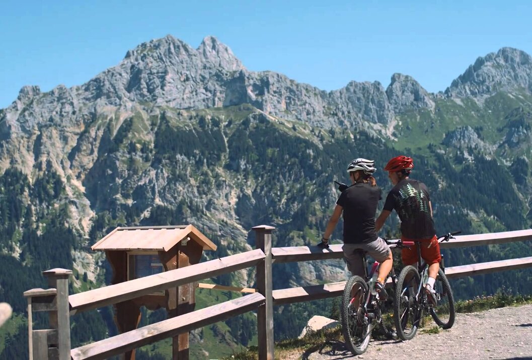
Whoever sees red in the Tannheimer Tal will be pleased. Specifically about medium-difficulty and scenic mountain bike routes, which require sporty riding skills and particularly defensive riding behavior. Scenic tour tip: On the approximately 11-kilometer long "Haldenrunde", bikers cover almost 500 meters of altitude and are rewarded at the top of the Berghotel Zugspitzblick with a wide view of the Tannheimer Tal and the mountains Rote Flüh and Gimpel, the landmarks of the Tyrolean high valley. With good visibility, you can even see Germany's highest mountain.
Black route - difficult
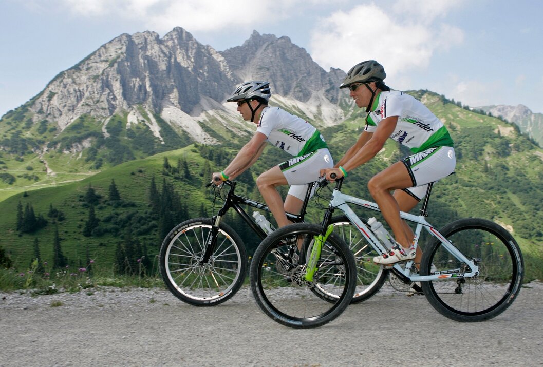
In total, 3 routes are classified as difficult - not least due to their length - and require endurance strength and mountain bike experience. Like the route to Raaz Alpe, where 47 kilometers and 1,512 meters of altitude await the mountain bikers. The diversity of the Tyrolean high valley is reflected in the "Valley round": On 67 kilometers and 1,280 meters of altitude climb, the route offers the full range of mountain bike sport. By the way, bikers can enter or exit the "Tour de Tannheimer Tal" at any point.
--> Tip: The Tannheimer Tal is the starting point for the Bike-Trail-Tirol, the longest continuous circuit for mountain bikers in the Alpine region with 1,000 kilometers.Directions:
There is no exact route description for this route; you can start your route wherever you like - the bike paths of the Tannheimer Tal offer countless entry points.
The Tannheimer Tal cycling path runs on a highly scenic and varied 20 km route from Nesselwängle to Schattwald and is
marked with green signposts. The path runs on paved roads, except along the Haldensee (southern shore and promenade path). The route away from main roads on agricultural and forestry tracks allows for comfortable bike touring, while special caution is requested at main road crossings and consideration for pedestrians is asked. From Haldensee to Schattwald the route has a barely noticeable gradient of 50 m, with no major or longer ascents to overcome.
Along the entire route there are many places to stop. Bike rental and repair are possible several times along the route.
Safety guidelines:Route preparation through endurance training, appropriate technical training and education, as well as personal prudence reduce the risk of accidents and dangers. But please never forget that the weather in the mountains can change very quickly.
Stay on the marked trails.
Ride on the "safe side" in the Tannheimer Tal
In Austria, mountain biking is generally prohibited on all forestry and hiking trails by law, except for expressly approved mountain bike routes. Entrances to forest roads sometimes have traffic bans and additional information such as "No cycling". Hiking trails do not have these prohibition signs, yet cycling on these paths is still forbidden.
Personal equipment must be safe and functional and meet the respective technical standard. Every cyclist is advised to inform themselves about the planned routes in specialist literature or locally.
Additional information:On the A7 motorway at the Oy-Mittelberg exit, follow B310 towards Wertach and then to Oberjoch. There follow the signs "Tannheimer Tal" B199.
From the Tyrol side via Reutte on the B198 towards Lechtal to Weißenbach, over the Gaicht pass along the B199 into the Tannheimer Tal
Public Transit
By train to Sonthofen, Pfronten/Ried, or Reutte, then continue by bus to the Tannheimer Tal.
Parking
Several paid parking options on the valley floor
Tannheimer Tal cycling path - bike touring
Informationsbüro Tannheim
Vilsalpseestraße 1
6675 Tannheim


