Schneetalalm - Gimpelhaus - Gehrenspitze
Information & interesting facts
A scenic hike below the Tannheimer Chain.
Recommended season:
- May
- June
- July
- August
- September
- October
- Loop
- Scenic
- Refreshment stops available
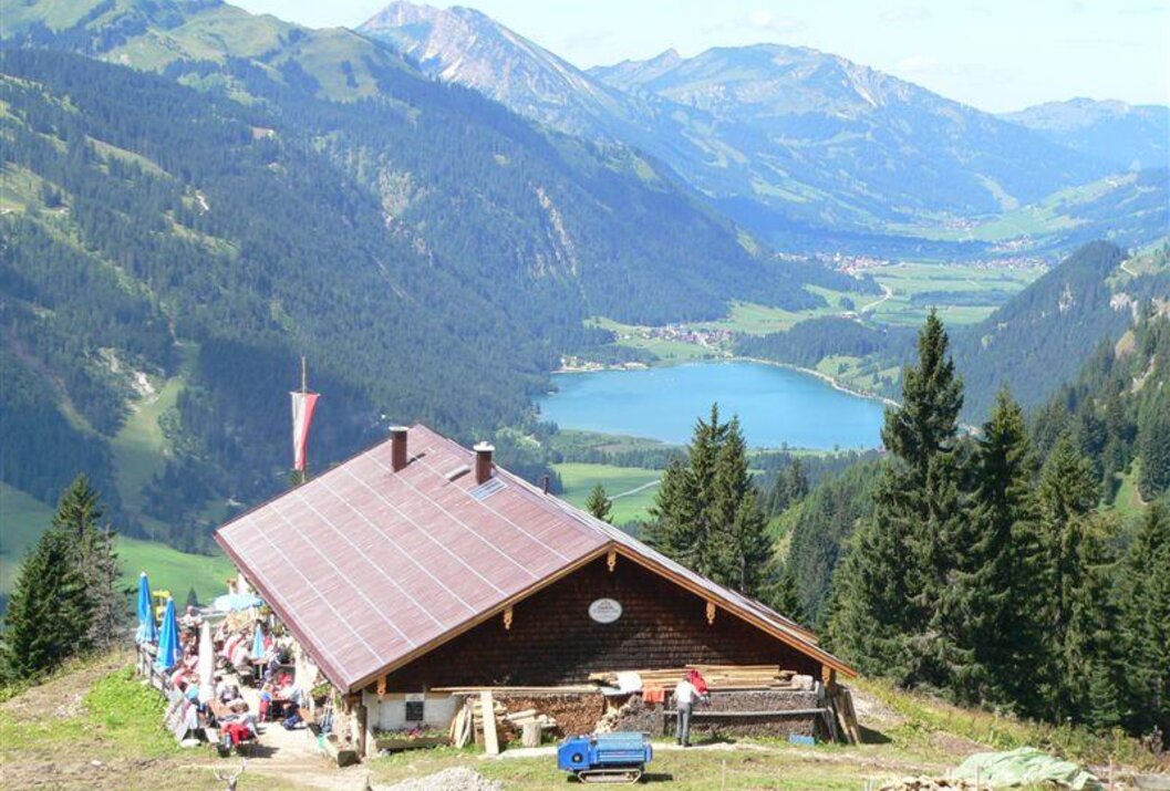
A hike with a wonderful view over the Tannheimer Tal. The path is well developed and enjoyable to walk. A stop at the Schneetalalm, the Tannheimer Hut, or the Gimpelhaus is worthwhile. Starting from Nesselwängle, Gimpelhaus parking lot, ascend to the Gimpelhaus, then continue to the Gimpel. WARNING!! Only for experienced mountaineers, difficult mountain route, therefore sure-footedness and a head for heights required. Caution when wet, danger of falling rocks. About 4 hours, the same descent back to the Gimpelhaus or Tannheimer Hut (overnight accommodation possible) to Nesselwängle, about 2 1/2 hours. Total approx. 6 hours.
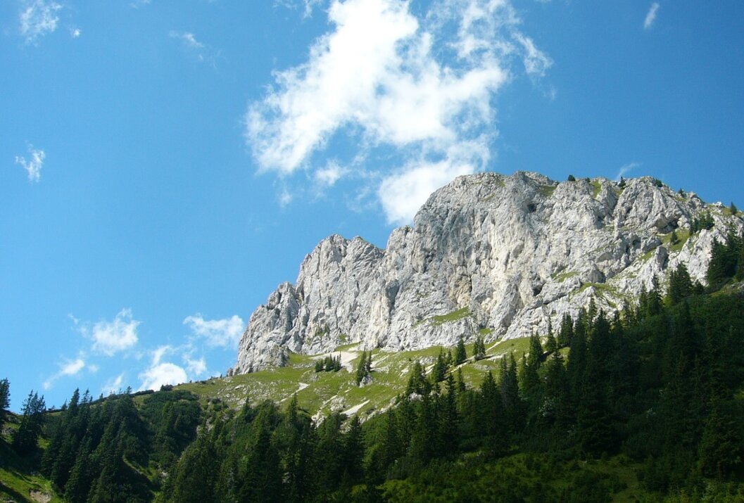
Directions:The hike starts in Nesselwängle, above the church. First towards the village center and then slightly ascending towards the northeast. Shortly after the village there is a signpost to Schneetalalpe. The gravel path is moderately steep and easy to walk. There are two forks in the path; both times we keep right to reach Schneetalalm after a short time. A short piece back the same way we came, then we walk towards the Gimpelhaus. At the first fork go straight, at the second turn left. Under the rock massif of the Tannheimer Group we cross the slope, reach the Tannheimer Hut and after a short descent the Gimpelhaus. Impressive rock walls in the background, which are ideal for climbing, and the wide view into the Tannheimer Tal give the hike a visual appeal. The descent is quite entertaining. Some artificially constructed stairs and serpentine bends in the path lead us quickly back to the starting point.
From the Gimpelhaus onwards to Gehrenspitze 2,163 m
From the Gimpelhaus continue towards Hahnenkamm to Sabachjoch and Gehrenjoch, path 417, about 2 hours. Ascent over rocks and ridges to the Gehrenspitze, path 417a, about 1 1/2 hours. Warning!! Only for experienced and practiced mountaineers, sure-footedness and no fear of heights required. Descent via the same path back to Gehrenjoch and further to Gehrenalpe path 417a, about 1 1/2 hours, then via Alpenrosenweg to Lechaschauer Alm and Schneetalalm, about 1 hour. Descent to Nesselwängle, paths 418/418a and 416, about 1 1/2 hours. Total walking time 7 1/2 hours
Please note that mountaineering involves an increased risk of accidents and injuries. Despite careful route planning, there is always a basic risk. Preparation through endurance training, appropriate technical training and further education, as well as personal caution, reduces the danger of accidents and risks. But never forget that the weather in the mountains can change very quickly. Stay on the marked hiking trails.Equipment:
Personal mountaineering equipment must be safe and serviceable and conform to the current technical standards. Every hiker is advised to inform themselves about the planned routes in alpine specialist literature or on site.
Take the A7 motorway at the "Oy-Mittelberg" exit onto the B310 towards Wertach and then Oberjoch. There, follow the signs "Tannheimer Tal" B199, exit Nesselwängle, to Hotel Berghof.
From the Tyrolean side via Reutte on the B198 towards Lechtal to Weißenbach, over the Gaicht Pass along the B199 to exit Nesselwängle, to Hotel Berghof.
Public Transit
By train to Sonthofen, Pfronten/Ried, or Reutte, then continue by bus to Nesselwängle.
Parking
You can park at the Hotel Berghof above the church - parking fee applies
Schneetalalm - Gimpelhaus - Gehrenspitze
Informationsbüro Nesselwängle
Hnr. 74
6672 Nesselwängle


