Pontental - Älpele
Information & interesting facts
A wonderful hike through the beautiful Pontental over the Zirleseck to the Älpele. A magnificent summit world awaits you.
Recommended season:
- May
- June
- July
- August
- September
- October
- Loop
- Scenic
- Refreshment stops available
- Geological highlights
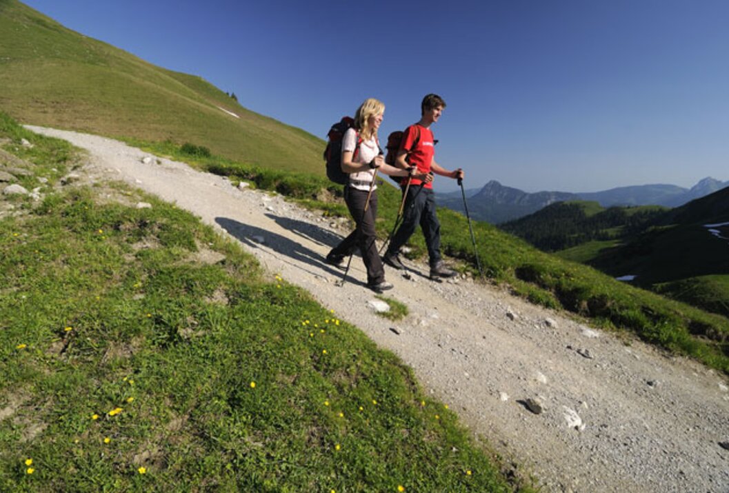
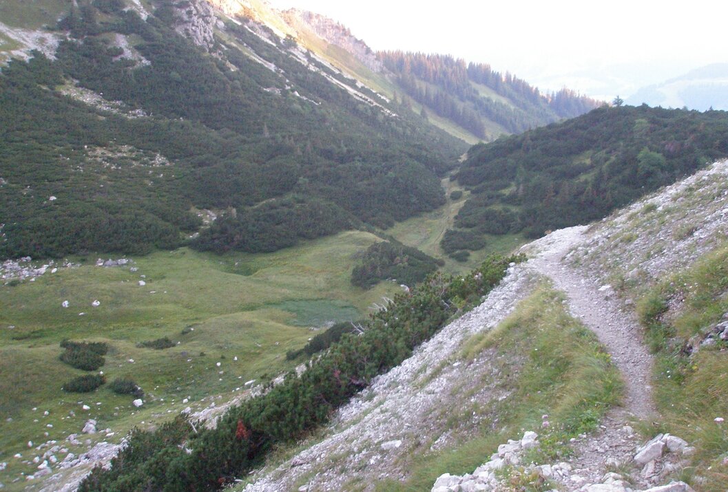
From the lift car park in Zöblen, the path climbs almost parallel to the ski slope into the Pontental. This beautiful valley between the Rohnenspitze and Ponten even has a small lake at the back end of the valley. The end of the Pontental is a slope up to the Zirleseck. From there, you can see far into the Alps and also into the Allgäu. After a few meters towards the Geißhorn, which stands impressively before us, we go left, downhill to the Älpele, a managed alpine hut, and continue downwards out of the Älpeletal. On the way back, we make a detour to the Höfersee, a small gem in this landscape. Via a high path with great views, we reach Zöblen again.
Directions:We meet at the lift car park in Zöblen. To the south, we see the Rohnenspitze, the Ponten to the right of it, and between them the Pontental, our destination for today's hike. The newly built 4-seater chairlift would save us quite a bit of time and also some sweat, but the lift only operates during the winter ski season.
So we climb uphill, passing the Auszeit restaurant and the Augsburger Hüttchen. A narrow, moderately steep hiking path leads us mostly through the forest but steadily upwards. At times we see or cross the forest road. This is flatter but also considerably longer. Just one more time over the ski slope and we have reached the entrance to the Pontental. Without markings, the inconspicuous path would hardly be visible. Lined with beautiful scenery, the path continues further and further into the Pontental. Individual, huge boulders line the way, giving only a hint of the natural power during their collapse. Suddenly the terrain becomes a bit flatter and gives us time to catch our breath. Even a small lake, slowly overgrowing, is up here. Chamois often meet here to drink or just to cool off. We also hear a few marmots whistling, warning their kind as soon as they spot us.
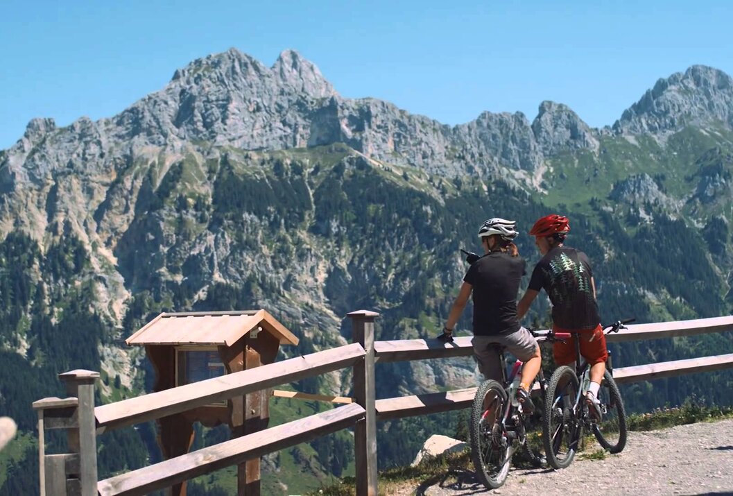
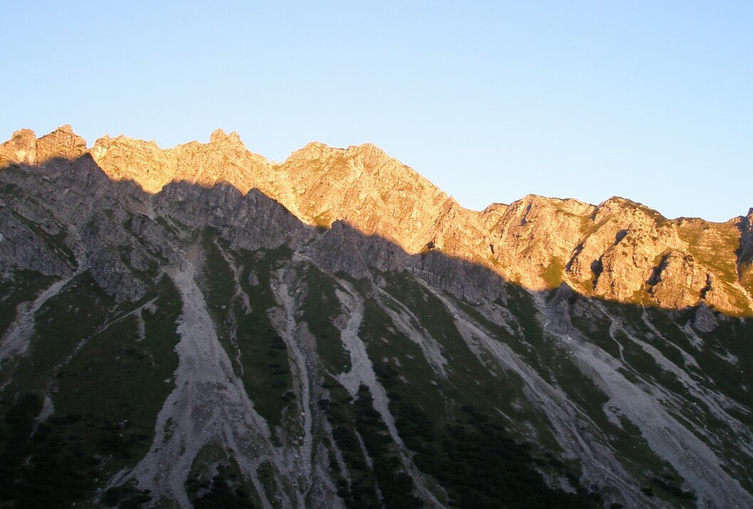
Looking ahead, we see a steeper slope where the path can only be guessed at in places. This slope leads us to the Zirleseck. But we also overcome this hurdle, and the view up here makes up for the effort. To our left, not far from the summit, is the Rohnenspitze, to the right the Ponten, and almost in front of us the Geißhorn. Our gaze wanders over the alpine peaks, but the view down into the Tannheimer Tal is also impressive. And the Willersalpe, lying below us toward Hintersteinertal, rounds off the idyllic landscape.
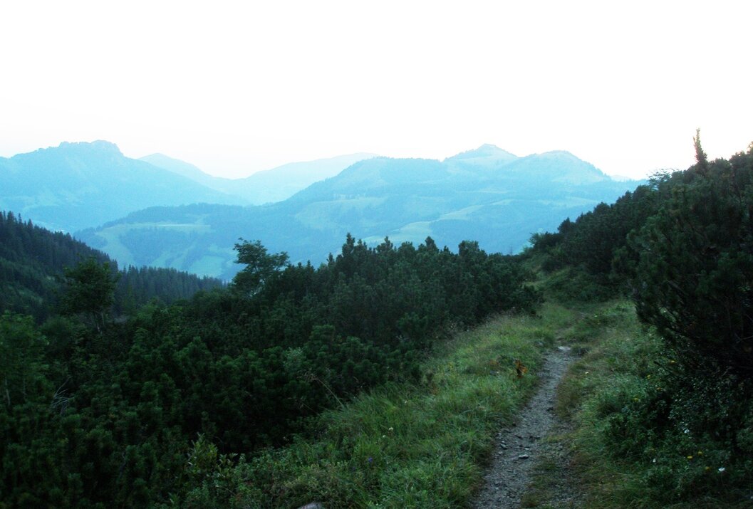
From now on, it's downhill. At first through dwarf pine and later on alpine meadow paths. The fence we must climb over twice not only serves to contain livestock but also marks the state border with Germany. The path leads gently downhill until a sign points us left over a steeper slope to the Älpele. Down in the flat area, we already see the hut, which is reached relatively quickly. Since the Älpele is managed and we are still early, we take a break.
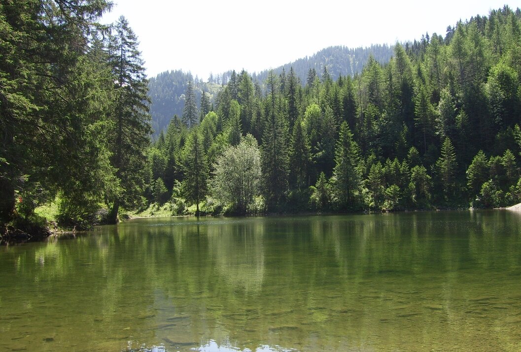
The further descent is on a gravel forest road, which is a bit longer but not as steep. Explaining some plants and enjoying the ever-beautiful views, we pass the time until we reach the turning to the Höfersee. A narrow path now leads left, over the small creek and through the forest. We almost believe we have lost our way. Only when the wide forest road lies ahead of us again, are we sure we chose the correct direction. A few moments later, we reach the Höfersee. A short detour to the lake just a few meters away should still fit in time-wise. This small gem in the middle of the forest and pasture landscape is a must-see. We continue toward Zöblen. Horses, cows, and calves that spend the whole summer up here come curiously to us. Shortly before the end of the hike, we walk on a farm road above Zöblen. From here we have a great view over almost the entire Tannheimer Tal – from Schattwald to the Haldensee. Many mountains, including the Gimpel and Rote Flüh, are also very well visible from here.
Above Zöblen, we also pass a Kneipp basin. Those who want to cool their feet now have the opportunity. The last meters are almost done, and we reach the car park. We say goodbye, and those who take the hiking bus to their accommodation go to the nearby bus stop.Tip:
Enjoy hearty snacks at the Älpele alpine inn
Safety guidelines:It should be noted that mountain sports can involve an increased risk of accidents and injuries. Despite careful route planning, a base risk always remains. Preparing for tours through endurance training, appropriate technical training and education, as well as personal caution reduces the risk of accidents and dangers. But please never forget that the weather in the mountains can change very quickly. Stay on the marked hiking trails.Equipment:
Personal mountain sports equipment must be safe, functional, and meet the current technical standards. Every hiker is recommended to inform themselves about the planned routes in alpine literature or locally.
On the A7 motorway at the "Oy-Mittelberg" exit take the B310 towards Wertach and then to Oberjoch. There, follow the signs "Tannheimer Tal" B199, exit Zöblen, lift car park Zöblen.
From the Tyrol side via Reutte on the B198 towards Lechtal to Weißenbach, over the Gaichtpass along the B199 to the exit Zöblen, lift car park Zöblen.
Public Transit
By train to Sonthofen, Pfronten/Ried, or Reutte, then by bus to Zöblen.
Parking
Lift car park in Zöblen
Pontental - Älpele
Informationsbüro Zöblen
Gemeindehaus 39
6677 Zöblen
