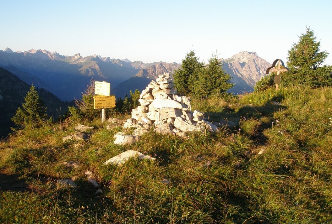
Ponten
Information & interesting facts
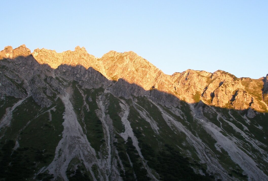
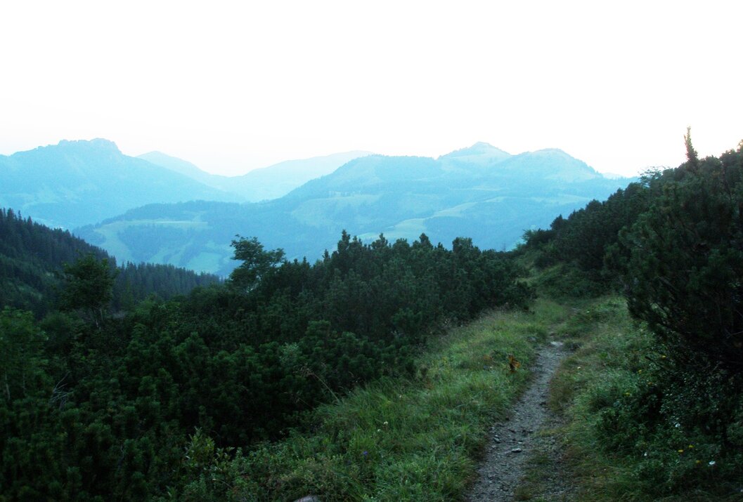
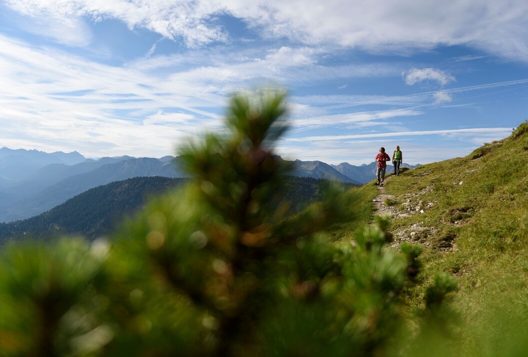
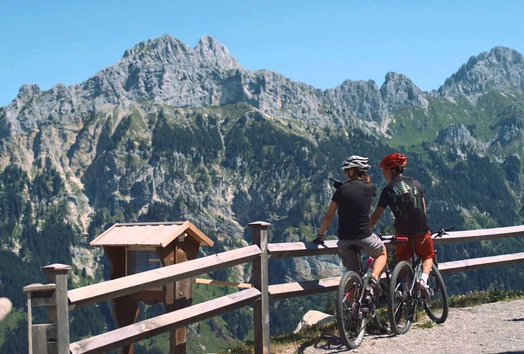
A beautiful hike with a stunning mountain backdrop.
Recommended season:
- May
- June
- July
- August
- September
- October
- Round trip
- Loop
- Scenic
- Refreshment stops available
- Geological highlights
- Botanical highlights
- Faunistic highlights
- Summit route
An impressive route awaits you. Enjoy a wonderful, not too extremely difficult ascent. However, the last section of the path is a bit
tiring but the view from the summit makes you forget the efforts of the ascent.
Starting from Tannheim towards Älpele, forest path, about 1 1/2 hours and then to Zirleseck, about 1 hour. From Zirleseck continue the ascent to Ponten, about 1 hour. Walking time to the summit about 4 hours.
a) over Güntle to Stuibenalpe, about 1 hour and then to Schattwald along the Stuibenbach or the forest path about 1 hour. Walking time about 5 1/2 hours.
b) over Güntle to Stuibenalpe, from there further to Zöblen, about 1 1/2 hours. Back to Tannheim on the circular hiking trail about 1 hour or back to Tannheim by hiking bus. Walking time about 6 hours.
It should be noted that mountain sports can have an increased risk of accidents and injuries. Despite careful route planning, there is always a basic risk. Preparing for the route through endurance training, appropriate technical training and further education as well as personal caution reduces the risk of accidents and hazards. But never forget that the weather in the mountains can change very quickly. Stay on the marked hiking trails.Equipment:
Personal mountain sports equipment must be safe and usable and comply with the respective technical standards. Every hiker is recommended to inform themselves about the planned routes in alpine specialist literature or on site.
On the A7 motorway at the "Oy-Mittelberg" exit onto the B310 towards Wertach and then to Oberjoch. There follow the signs "Tannheimer Tal" B199, exit Zöblen, lift parking lot Zöblen.
From the Tyrolean side via Reutte on the B198 towards Lechtal to Weißenbach, over the Gaichtpass along the B199 to the exit Zöblen, lift parking lot Zöblen.
Public Transit
By train to Sonthofen, Pfronten/Ried or Reutte, then by bus to Zöblen.
Parking
Lift parking lot in Zöblen - paid
Ponten
Informationsbüro Zöblen
Gemeindehaus 39
6677 Zöblen
