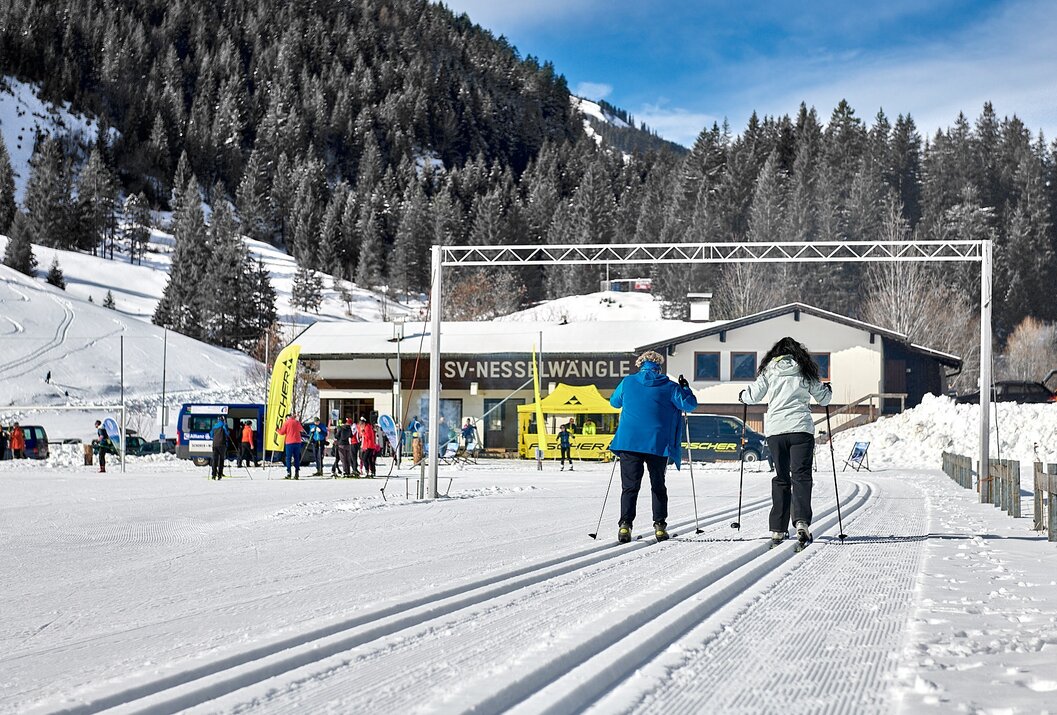
Loop Trail Night Skiing Nesselwängle
Information & interesting facts
The loop trail in the Nesselwängler fields is the most snow-safe trail in the valley due to its altitude. Cross-country skiing is usually possible here until spring.
The trail is also illuminated for night skiing.
Night skiing always on Wednesdays from 4:30 PM – 8:00 PM
Recommended season:
- January
- February
- March
- December
- Loop
Tyrolean Trail Quality Seal
For two decades, the Tyrolean state government has awarded the Tyrolean trail quality seal to applying trail operators under certain conditions.
The Tannheimer Tal is a "cross-country skiing paradise." This is not only confirmed by the ADAC Ski Guide 2008, which nominated the region as one of the top 10 ski areas in the Nordic/cross-country category. The Land Tirol also awarded a special distinction: the "Trail Quality Seal of the State of Tyrol." This is valid for three years, and criteria such as the number of trails, grooming, orientation, or marking are regularly checked.
The Tannheimer Tal offers optimal cross-country skiing conditions with a 140-kilometer network of trails and a maximum elevation difference of 50 meters. The routes are suitable for both classical style and skating and provide suitable challenges for cross-country skiers of all skill levels.
The cross-country ski loop starts at the Sportcenter Nesselwängle. First, the route leads southeast along the center and past the parking lot before we glide through an underpass. Then it continues to the right over the Weitmoos, where a loop eventually leads us back to the starting point located to the west.
Tip:There is a place to stop directly at the lift parking lot at the Landgasthof Schuster.
Safety guidelines:Please observe the FIS rules of conduct for cross-country skiers!
A secure handling of the equipment even under poor snow conditions and good physical fitness are essential prerequisites for cross-country skiing. Choosing the right speed—adapted to your skiing ability and level of fatigue—significantly reduces the risk of accidents and injuries.
Stay on the route: All described routes here run on groomed trails. So do not deviate from the route.
The Tannheimer Tal trail map makes your tour planning easier, shows the distances, and helps estimate the running time.Equipment:
Modern and well-maintained equipment (skis, bindings, boots, poles, and clothing) not only provides a considerable level of safety but also makes cross-country skiing much easier. Sunscreen (high protection factor and possibly sunglasses) as well as plenty of fluids should not be forgotten.
Additional information:Tourism Association Tannheimer Tal
On the A7 motorway take the exit "Oy-Mittelberg" onto the B310 towards Wertach and Oberjoch. There, follow the signs "Tannheimer Tal" B199, exit lifts in Nesselwängle. From the Tirol side via Reutte on the B198 towards Lechtal until Weißenbach, over the Gaichtpass along B199 to the exit lifts Nesselwängle
Public Transit
By train to Sonthofen, Pfronten/Ried or Reutte, then continue by bus to Nesselwängle
Parking
Parking lot at the Nesselwängle ski lifts (subject to fees)
Loop Trail Night Skiing Nesselwängle
Informationsbüro Tannheim
Vilsalpseestraße 1
6675 Tannheim
