Hahnenkamm
Information & interesting facts
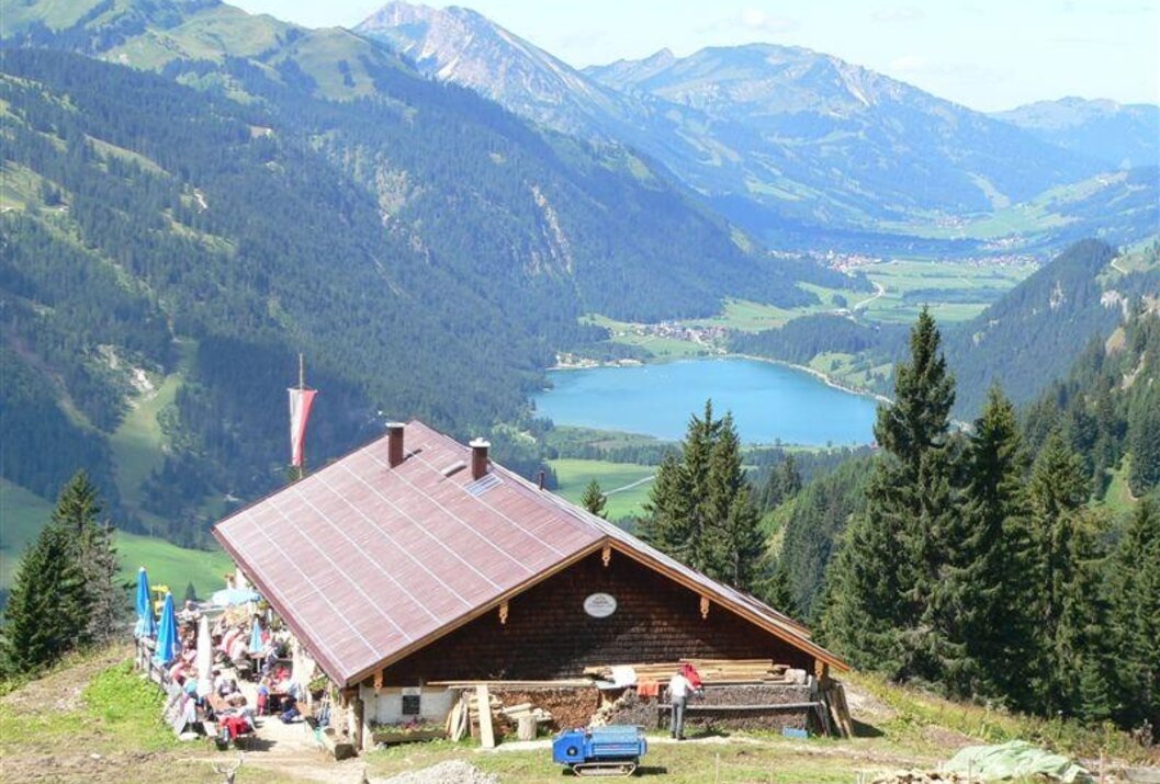
Hike suitable for everyone with a stunning view of the Tannheimer Tal, the Lechtal, the Reutte valley basin, the Zugspitze, and the Alpine foothills...
Starting from Nesselwängle to Schneetalalm, approximately 1 3/4 hours. Continue the ascent to Hahnenkamm, about 1 hour. Descent to the mountain station, about 1/2 hour, and then on to Höfen, approx. 2 hours, or descend with the gondola. Bus connections from Höfen to the Tannheimer Tal are possible. The bus stop in Höfen is on the federal road opposite the town hall. Total walking time approx. 5 1/2 hours.
Recommended season:
- May
- June
- July
- August
- September
- October
- Scenic
- Refreshment stops available
- Geological highlights
- Botanical highlights
- Faunistic highlights
- Cableway ascent/descent
- Summit route
This hike into the neighboring valley basin promises a perfect combination of nature and adventure!Directions:
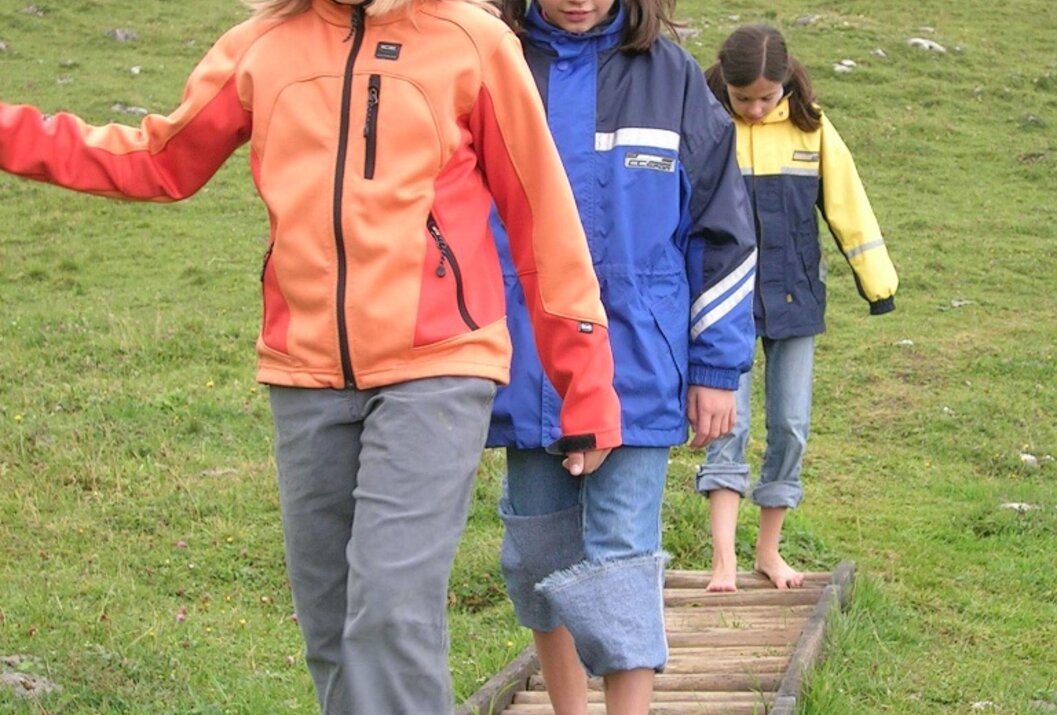
From the parking lot, cross a bridge and then follow the signs comfortably to Schneetalalm. From there, the ascent to Hahnenkamm begins, possibly visiting the alpine flower garden (no longer maintained), where over 500 different plant species await you, and the Alpine barefoot path! After a short descent to the mountain station, take the gondola down to the valley. From the valley station, continue a bit along the road down to the village of Höfen. At the intersection of the federal road, you will find the bus stop on the right side, opposite the town hall.
Tip:A visit to the alpine flower garden and the Alpine barefoot path, as well as the paraglider and hang glider launch site, is highly recommended.
Safety guidelines:It should be noted that there is an increased risk of accidents and injuries in mountaineering. Despite careful route planning, a basic risk always remains. Preparation through endurance sports, suitable technical training and further education, as well as personal caution, reduces the risk and dangers. But please never forget that the weather in the mountains can change very quickly. Stay on the marked hiking trails.
Equipment:Personal mountaineering equipment must be safe, functional, and meet the respective technical standard. Every hiker is advised to inform themselves about the planned routes in alpine specialist literature or locally.
On the A7 motorway, take the "Oy-Mittelberg" exit onto B310 towards Wertach and then Oberjoch. There, follow the signs for "Tannheimer Tal" B199, turn left after the village of Nesselwängle onto the gravel parking lot.
From the Tyrol side via Reutte on the B198 towards Lechtal to Weißenbach, over the Gaichtpass along the B199, turn right before entering the village of Nesselwängle onto the gravel parking lot.
Public Transit
By train to Sonthofen, Pfronten/Ried, or Reutte, then continue by bus to Nesselwängle.
Parking
You will find the Schneetal parking lot coming from the Allgäu 150m after the second entrance to the village area of Nesselwängle on the left side, and coming from Gaichtpass after the "Welcome to Tannheimer Tal" sign on the right.
Hahnenkamm
Informationsbüro Nesselwängle
Hnr. 74
6672 Nesselwängle

