GeoPanorama Trail Breitenberg - Füssner Jöchle
Information & interesting facts
A journey through the formation history of the mountains
Recommended season:
- June
- July
- August
- September
- October
- Scenic
- Refreshment stops available
- Family friendly
- Cultural/historical value
- Geological highlights
- Botanical highlights
- Faunistic highlights
- Summit route
In order to enable interested hikers to take a journey into the formation history of the mountains, the GEO trail Pfronten-Vils-Grän was established. On the section of the Gräner trail you will learn all sorts of interesting facts under the motto "Rocks shape mountains". An unforgettable experience for hikers - whether big or small.
The GEO trail conveys the impression of the uniqueness and beauty of this landscape and accompanies the hiker on an exciting mountain tour through earth history: from Breitenberg in Pfronten, from Vils or from Füssener Jöchle in Grän.
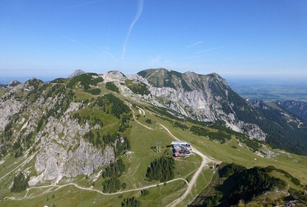
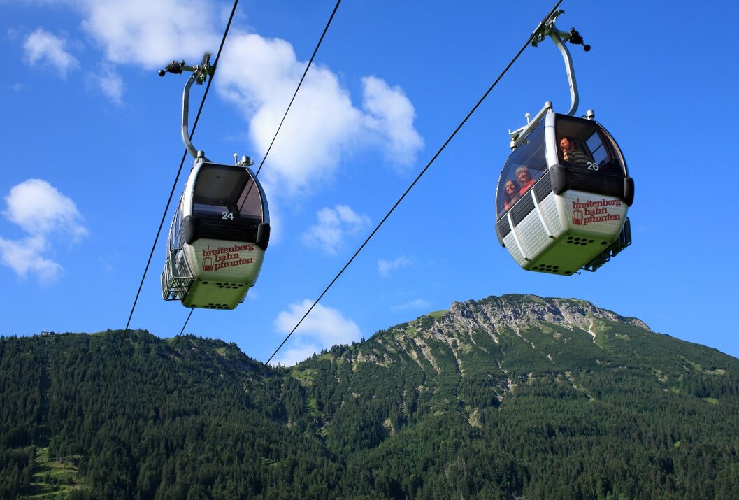
Starting from Grän with the 8-seater gondola lift to Füssener Jöchle, mountain station Sonnenalm, then continuing over the Sebenalm to the Bad Kissinger Hut (overnight accommodation available). From the hut there is the option to reach the summit of Aggenstein. The path there involves easy climbing just below the summit (rope protection available). However, we hike from the hut in the direction of Pfronten. From here it goes down to the mountain station of the Breitenberg cable car.
Tip:Look forward to a very informative and beautiful hike
Safety guidelines:General valid and usual rules of conduct
It should be noted that there is an increased risk of accidents and injuries in mountaineering. Despite careful tour planning, a basic risk always remains. Tour preparation through endurance sports, appropriate technical training and further education as well as personal caution reduces the risk of accidents and risks. But please never forget that the weather in the mountains can change very quickly. Stay on the marked hiking trails.
Personal mountaineering equipment must be safe and functional and meet the respective technical standard. Every hiker is recommended to inform themselves about the planned routes in alpine specialist literature or locally.
Additional information:Personal mountaineering equipment must be safe and functional and meet the respective technical standard. Every hiker is recommended to inform themselves about the planned routes in alpine specialist literature or locally.
On the A7 motorway at the "Oy-Mittelberg" exit on the B310 towards Wertach and Oberjoch. There follow the signs "Tannheimer Tal" B199 to Grän. From the Tyrolean side via Reutte on the B198 towards Lechtal to Weißenbach, over the Gaichtpass along the B199 to Grän.
Public Transit
By train to Sonthofen, Pfronten/Ried or Reutte, then by bus to Grän. Bus stop Füssener Jöchle.
Parking
Parking lot at the Sonnenbergbahnen in Grän, paid parking.
GeoPanorama Trail Breitenberg - Füssner Jöchle
Informationsbüro Grän
Dorfstraße 1
6673 Grän


