From Haldensee to Litnisschrofen
Information & interesting facts
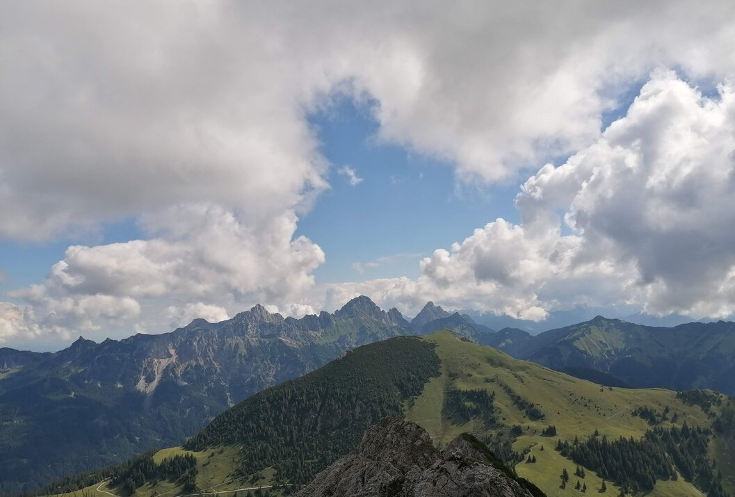
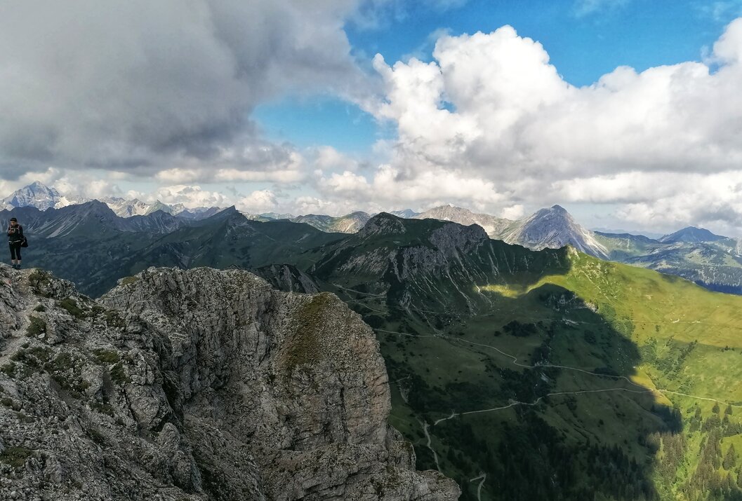
From the valley below, the Litnisschrofen (2068m) is barely visible. Seen from surrounding peaks such as the Krinnespitze or the Neunerköpfle, it stands out isolated with its distinctive rocky wall.
Recommended season:
- May
- June
- July
- August
- September
- October
- Round trip
- Scenic
- Refreshment stops available
- Botanical highlights
- Summit route
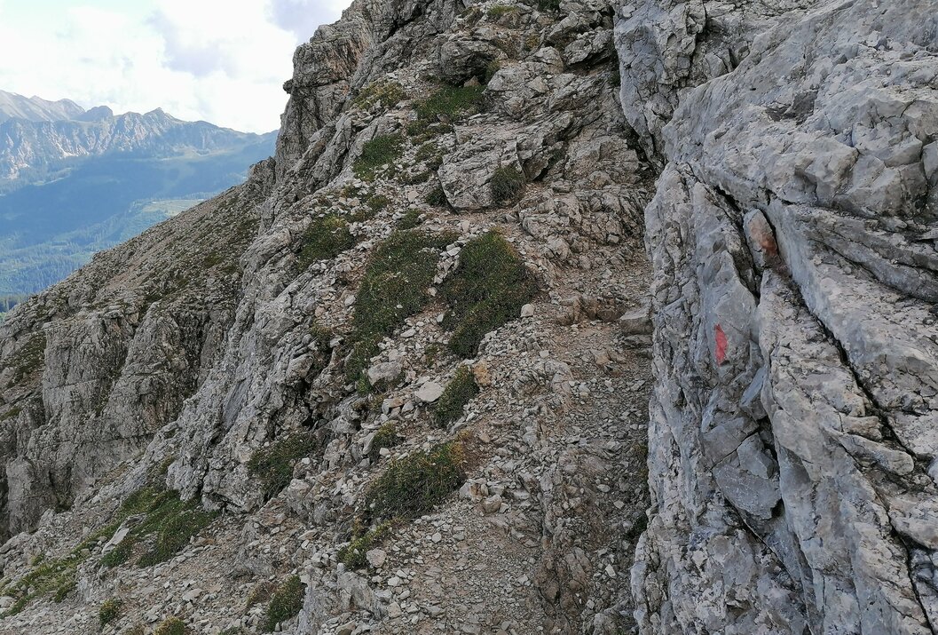
Demanding route, risk of falling - requires absolute surefootedness and a head for heights.Directions:
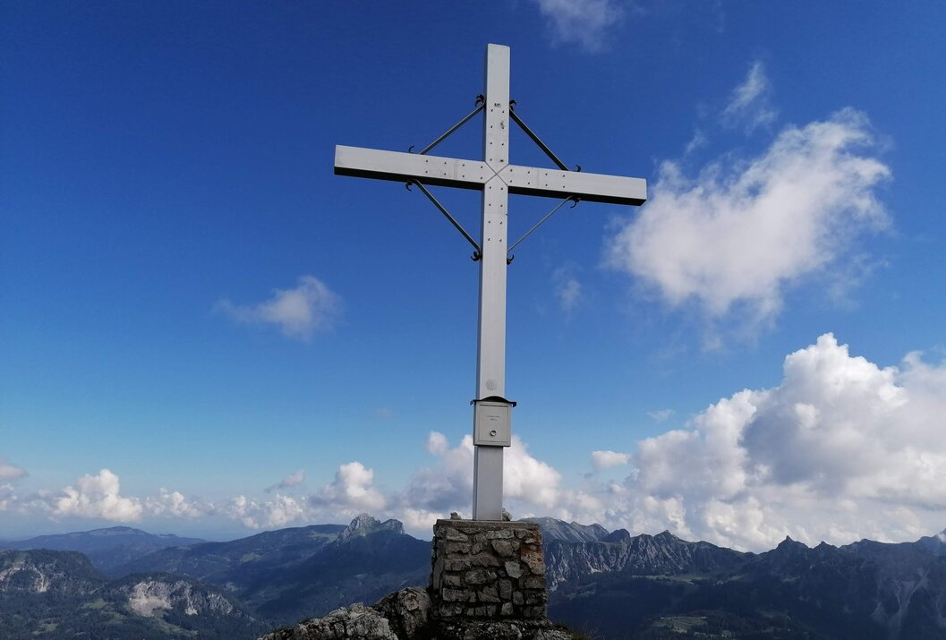
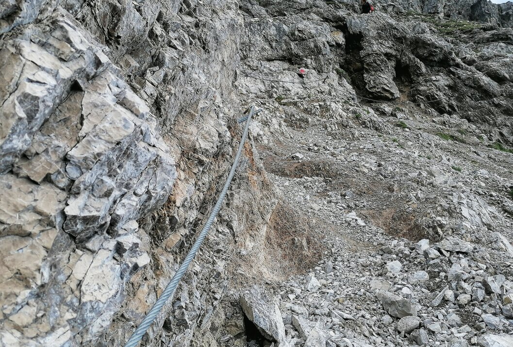
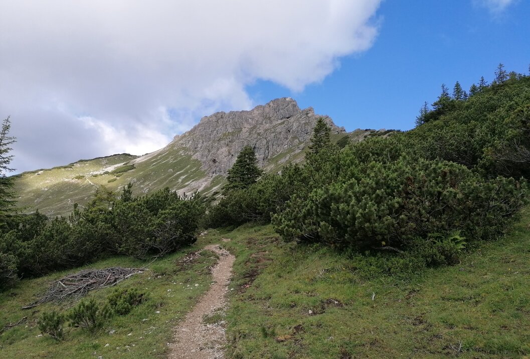
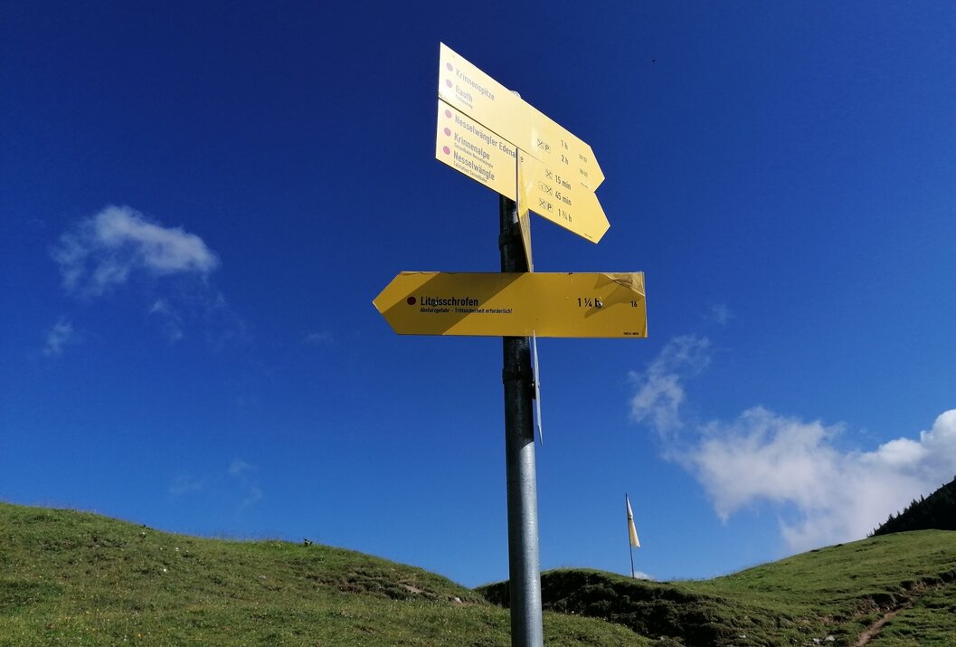
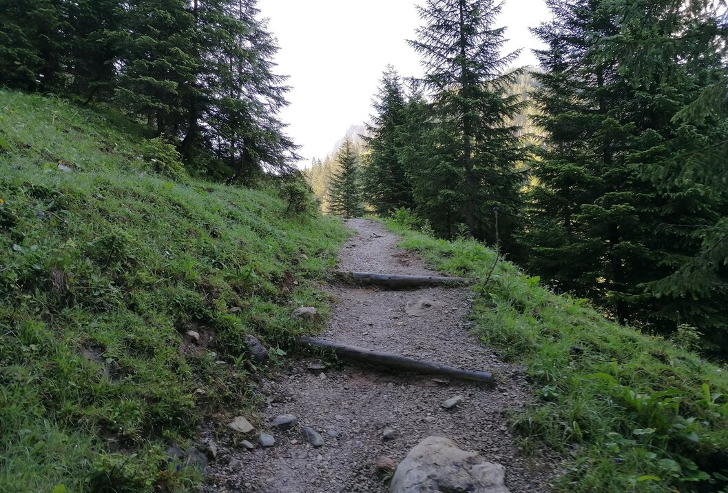
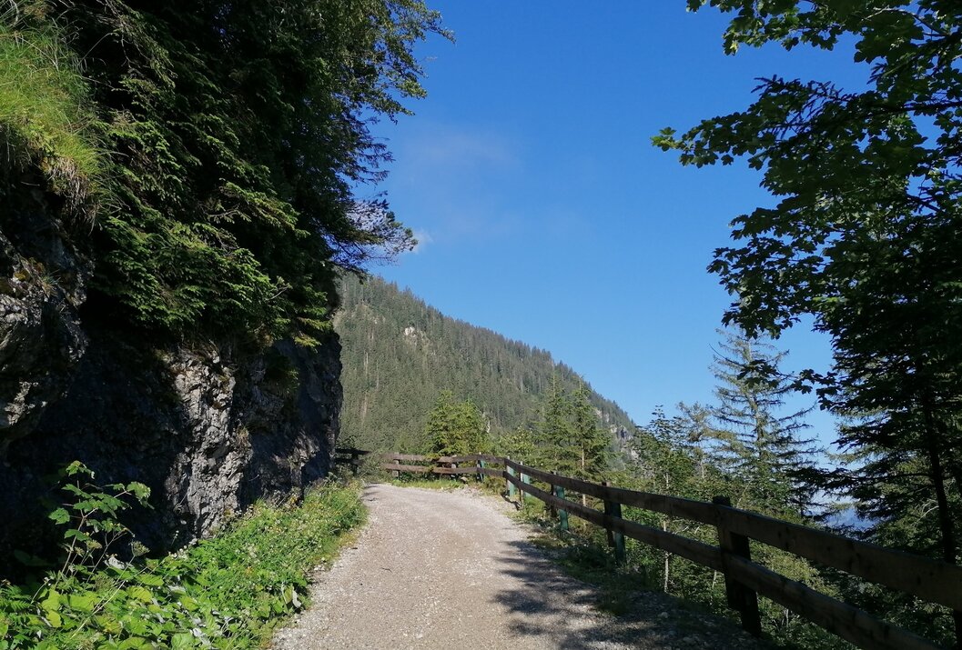
From the lake parking lot or the Haldensee bus stop, go past Tauscher's Alm and follow the forest road on the far right into the Strindental. After about 30 minutes of walking, this turns into a trail. Just below the Gräner Ödenalpe, the route runs again along a forest road. This branches off from the driveway at the height of the Gräner Ödenalpe, runs over slopes and between dwarf pines upwards below the rocks towards the summit cross. The last section leads over steep, rocky terrain secured with wire ropes. Absolute surefootedness and a head for heights are required here. Once at the summit, you will be rewarded with a fantastic view of the surrounding mountain panorama.
Descent option (variant): Gräner Ödenalpe - Nesselwänger Edenalpe - via the Alpenrose path to Krinnenalpe - with the Krinnenalplift (chairlift) from the mountain station to the valley station or the complete descent on foot.
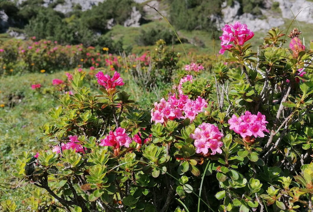
Special highlight: during the alpine rose bloom, between June and August!Safety guidelines:
General valid and usual behavioral rules! It should be noted that mountain sports carry an increased risk of accidents and injuries. Despite careful tour planning, a basic risk always remains. Preparing for a tour through endurance sports, appropriate technical training and further education, as well as personal caution, reduces the risk of accidents and dangers. But please never forget that the weather in the mountains can change very quickly. Stay on the marked hiking trails.Equipment:
Personal mountain sports equipment must be safe, functional, and meet the respective technical standards. Every hiker is advised to inform themselves about the planned routes in alpine literature or on site.Additional information:
Tourist office Tannheimer Tal
Gräner Ödenalpe
On the A7 motorway at the "Oy-Mittelberg" exit, take the B310 towards Wertach and Oberjoch. There, follow the signs for "Tannheimer Tal" B199 until Haldensee. From the Tirol side via Reutte on the B198 towards Lechtal to Weißenbach, over the Gaichtpass along the B199 to Haldensee.
Public Transit
By train to Sonthofen, Pfronten/Ried or Reutte, then by bus to Grän/Haldensee.
Parking
You can park at the lake parking lot at Haldensee - paid parking.
From Haldensee to Litnisschrofen
Informationsbüro Grän
Dorfstraße 1
6673 Grän
