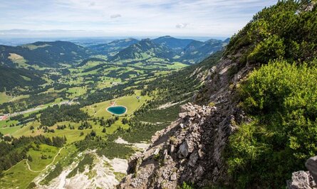
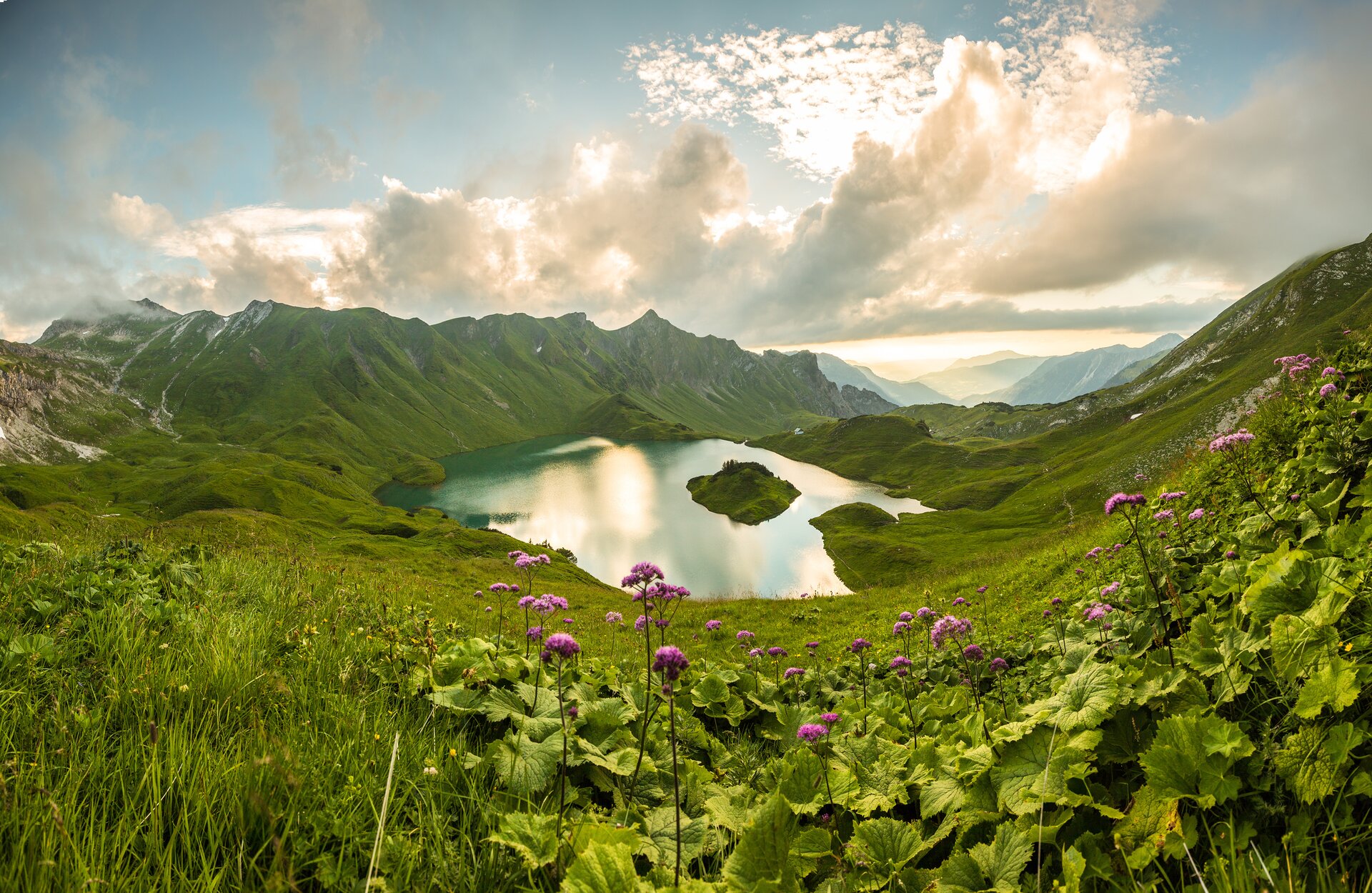
Mountain lake surrounded by green meadows and mountains under cloudy skies

Long-distance hiking trail

Grenzgänger

The “Grenzgänger-Weg” extends over 80 km and six stages along the border ridge between Bavaria and Tyrol, through the Allgäu High Alps and the Tannheimer Tal to the Oberstdorf mountains and back to the Ostrachtal near Hinterstein.

The route runs mostly through the Allgäu High Alps and Vilsalpsee nature reserves and covers over 6,000 meters of altitude on challenging paths with scree fields, ridges and steep flanks. The hike offers highlights such as the circumnavigation of the Hochvogel, the Schrecksee and some of the highest waterfalls in Germany.

Overnight accommodation is available in mountain huts such as the Landsberger Hütte and the Prinz-Luitpold-Haus or in the small valley villages of Schattwald, Hinterhornbach and Hinterstein.

The trail is a joint project funded by the Interreg program and is supported by local tourism associations.
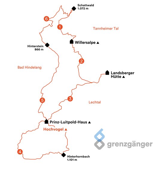
Map of the border crossing hiking route with marked locations and altitude information

A 1:25,000 scale topographical hiking map of the Grenzgänger is available free of charge from the following tourist information offices:

  • Bad Hindelang
  • Tannheimer Tal
  • Lechtal

Access to the Grenzgänger route in the Tannheimer Tal: from Schattwald or from Vilsalpsee

The six stages of the cross-border commuter trail
Filter entries by
Map
Map
Filter entries by
7 of 7 entries
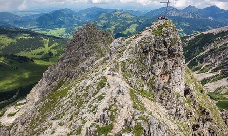
Mountain peak with summit cross and hikers, stony path, green landscape in the background
Hiking trail
Grenzgänger - Hochalpiner Etappenwandersteig im Allgäu
Start: Schattwald
Difficulty: Difficult
Duration: 35 h
Length: 85,15 km
Altitude: 6805 m
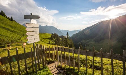
Hiking sign on a green mountain meadow with a wooden fence and a view of forested mountains under a blue sky
Hiking trail
Drafted on March 10, 2016
Start: Schattwald
Difficulty: Medium
Duration: 7 h
Length: 12,99 km
Altitude: Uphill 1054 m / Downhill 1283 m
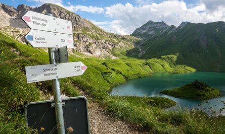
Signpost at the mountain lake with green meadows and mountains in the background
Hiking trail
Grenzgänger Etappe 2 - Geißeckjoch, Schrecksee & Landsberger Hütte
Start: Bad Hindelang
Difficulty: Difficult
Duration: 7 h
Length: 15,88 km
Altitude: Uphill 1609 m / Downhill 671 m
Mountain landscape with hiking trail under blue sky
Hiking trail
Grenzgänger Etappe 3 - Über den Jubiläumsweg zum Prinz-Luitpold-Haus
Start: Weißenbach am Lech
Difficulty: Medium
Duration: 6 h
Length: 12,32 km
Altitude: Uphill 745 m / Downhill 703 m
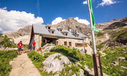
Stone mountain hut with grey roof in front of mountain panorama and blue sky
Hiking trail
Grenzgänger Etappe 4 - Himmelecksattel, Hornbachjoch & Hinterhornbach
Start: Grän
Difficulty: Difficult
Duration: 7 h 30 m
Length: 15,62 km
Altitude: Uphill 887 m / Downhill 1627 m
Rocky mountain landscape under blue sky
Hiking trail
Grenzgänger Etappe 5 - Hinterhornbach, Hochvogel & Hintersteiner Tal
Start: Hinterhornbach
Difficulty: Difficult
Duration: 7 h 30 m
Length: 14,44 km
Altitude: Uphill 1251 m / Downhill 1295 m
Mountain landscape with lake, meadows and wooded hills under blue sky
Hiking trail
Grenzgänger Etappe 6 - Zipfelsfälle, Iseler, Kühgundkopf & Wannenjoch
Start: Bad Hindelang
Difficulty: Difficult
Duration: 7 h
Length: 13,64 km
Altitude: Uphill 1160 m / Downhill 932 m
Accommodations Lift
Tannheimer Tal Live
Weather
10 °C / 13 °C
Showers
To the details
Open lifts
4 / 15
Cable cars & lifts
All lifts
Webcams
9
cameras live
To the overview
Interactive map
292
Tours
To the map