Einstein variant 2
Information & interesting facts
A wonderful hike to the local mountain of Tannheim.
Recommended season:
- June
- July
- August
- September
- October
- Loop
- Scenic
- Geological highlights
- Faunistic highlights
- Insider tip
- Summit route
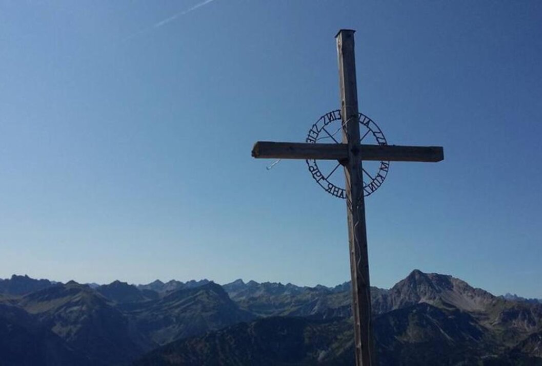
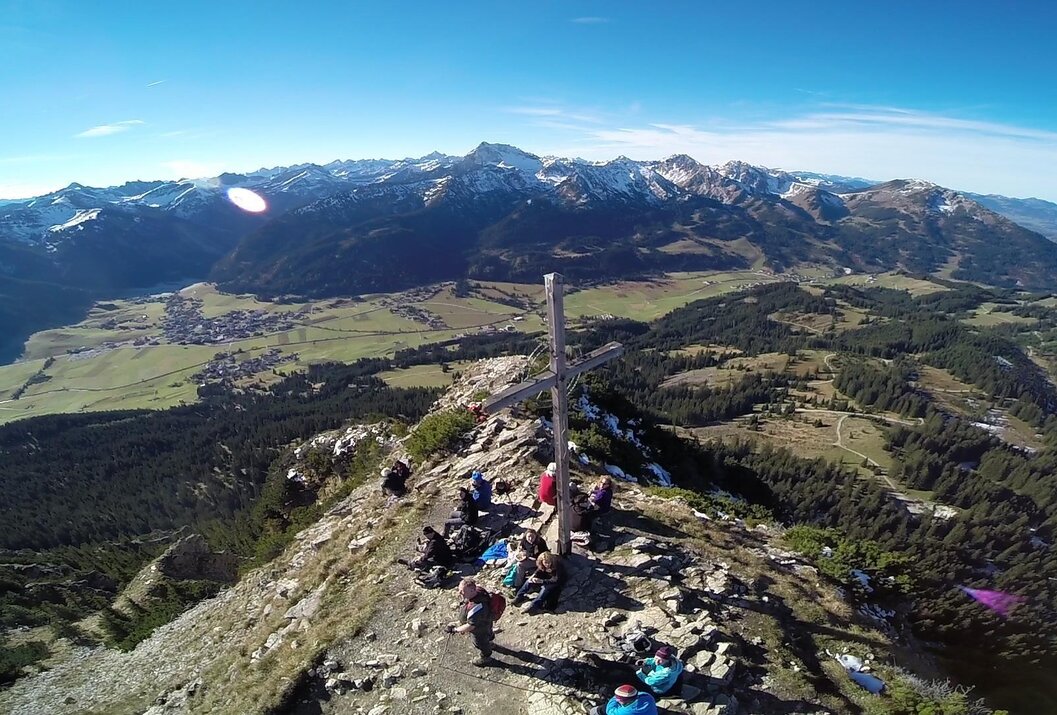
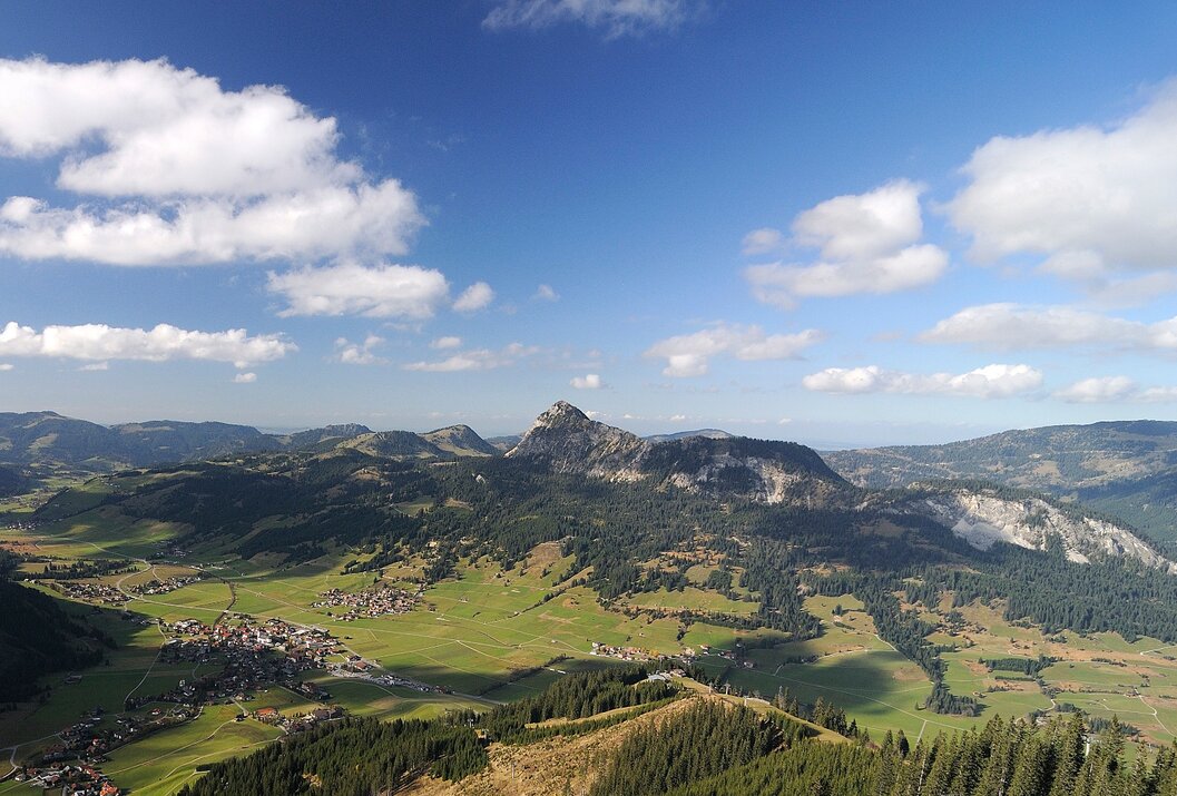
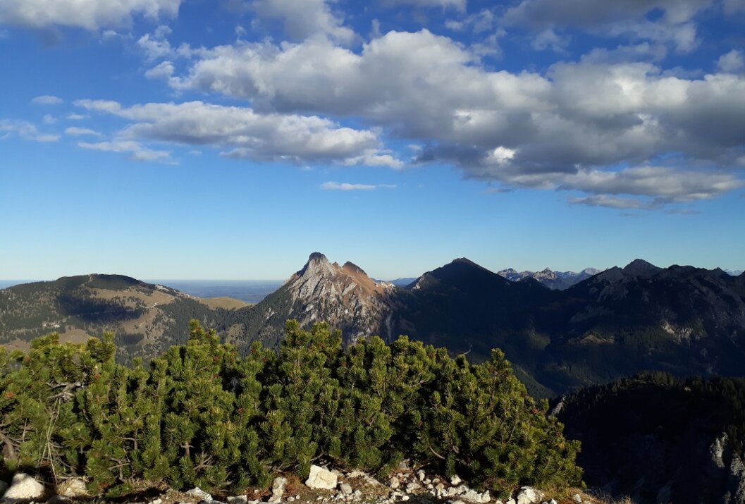
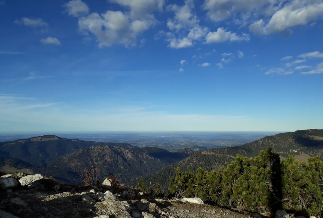
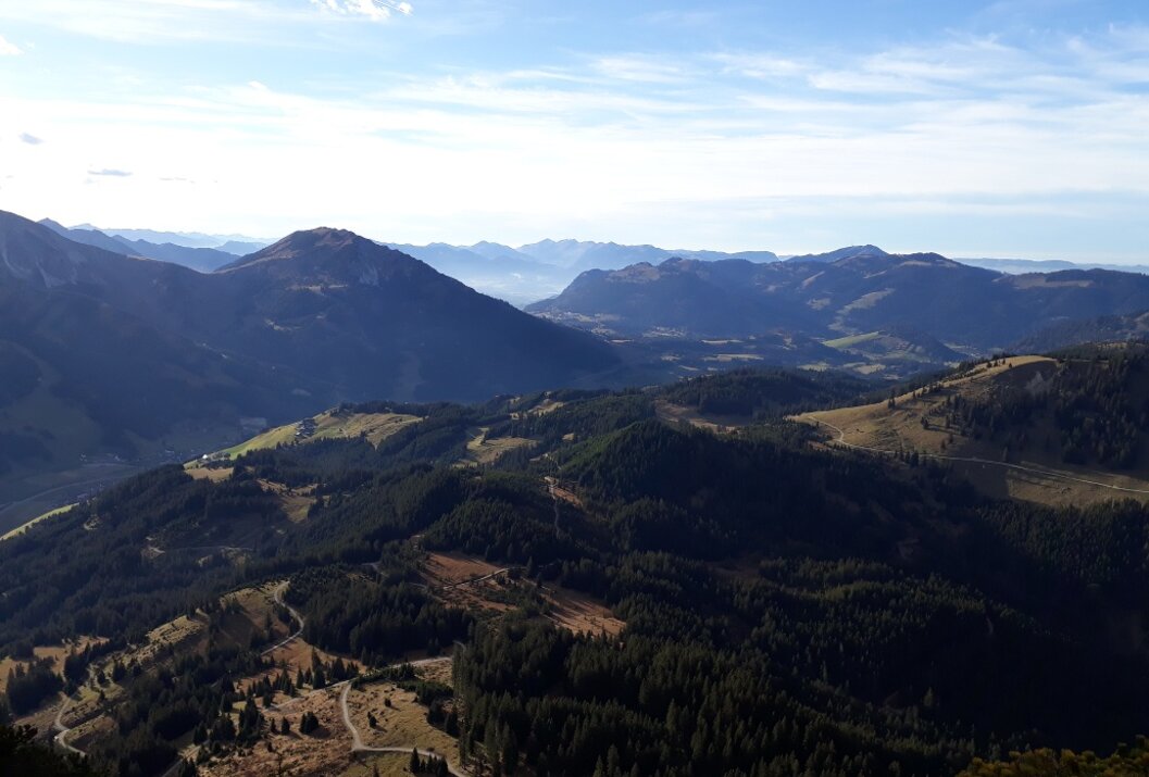
Starting from Tannheim through the romantic district of Berg, then into an untouched wooded area until we reach the foot of the mighty Einstein. An indescribable view awaits you from the summit. Afterwards, we descend to the northern side of the Einstein back into the Engetal.
Directions:The parking lot by the underpass in Tannheim, heading towards the district of Berg, is the starting point of our hike. Eastwards through the district of Berg, with the goal, the Einstein, always in sight, the ascent begins slowly. Following the signage, we cross the road several times, then after passing through a turnstile, continue upwards over pastureland. A "Marterl" hangs on a tree, a memorial to a mountain walker who died in an accident. From here it becomes a bit steeper and the path changes to gravel. Several switchbacks lead upwards. Finally, we have reached the ridge and see the Engetal on the other side. We continue along the mountain ridge towards the summit. Just below the summit it becomes rocky and we pay special attention again. The summit rewards us with a wonderful panoramic view. The descent starts with a short section on the same path along the mountain ridge before it turns left into the Engetal. First, the path leads us over a gravel surface, then over pastureland and finally through wooded areas. A parking lot, where formerly the German customs house stood, is the destination of our hike today. Return to the Tannheimer Tal is either by hiking bus or by private car.
Tip:According to rumors, on a clear day the Frauen towers in Munich can be seen.Safety guidelines:
It should be noted that mountain sports can involve an increased risk of accidents and injuries. Despite careful route planning, a basic risk always remains. Preparation through endurance sports, appropriate technical training and education as well as personal caution reduce the risk of accidents and dangers. But please never forget that the weather in the mountains can change very quickly. Stay on the marked hiking trails.
Equipment:Personal mountain sports equipment must be safe and usable and meet the respective technical standard. Every hiker is advised to inform themselves about the planned routes in alpine literature or locally.
On the A7 motorway at the Oy-Mittelberg exit on the B310 towards Wertach and Oberjoch. There follow the signs "Tannheimer Tal" B199, exit Tannheim, parking lot at the district of Berg.
From Tyrol side via Reutte on the B198 towards Lechtal to Weißenbach, over the Gaichtpass along the B199 to the exit Tannheim, parking lot at the district of Berg.
Public Transit
By train to Sonthofen, Pfronten/Ried, or Reutte, then by bus to Tannheim.
Parking
Parking lot at the district of Berg - paid
Einstein variant 2
Informationsbüro Tannheim
Vilsalpseestraße 1
6675 Tannheim
