Adlerhorst variant 1
Information & interesting facts
A wonderful hike for young and old with a beautiful view.
Recommended season:
- May
- June
- July
- August
- September
- October
- Loop
- Scenic
- Refreshment stops available
- Family friendly
- Geological highlights
- Botanical highlights
- Faunistic highlights
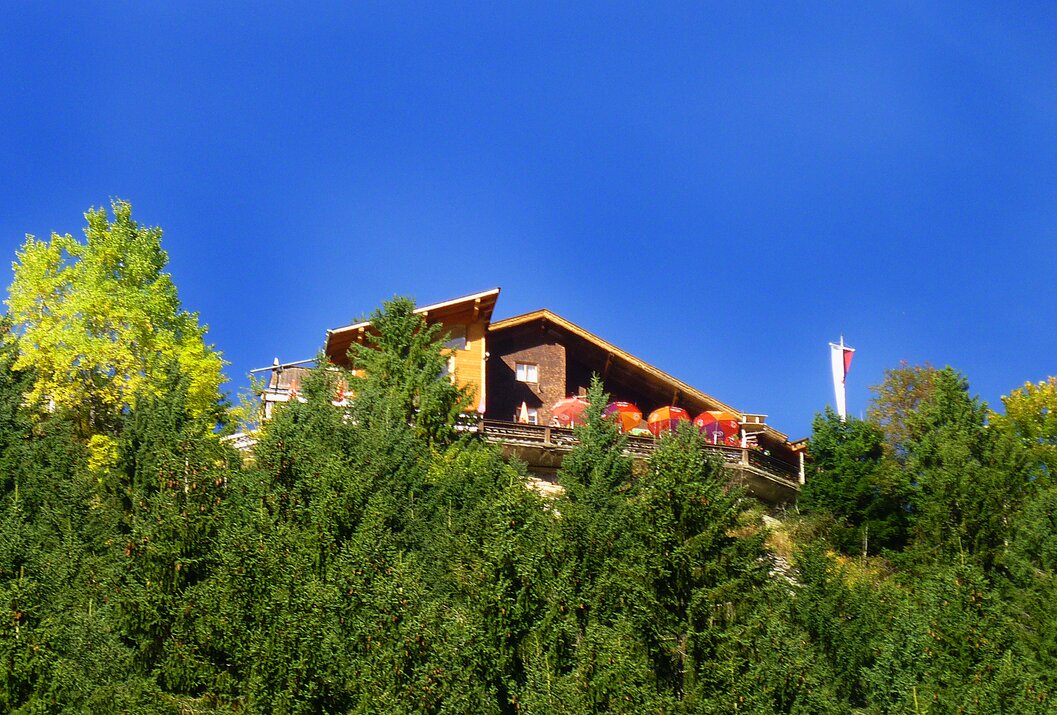
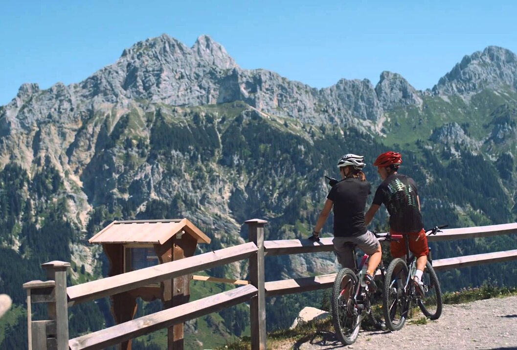
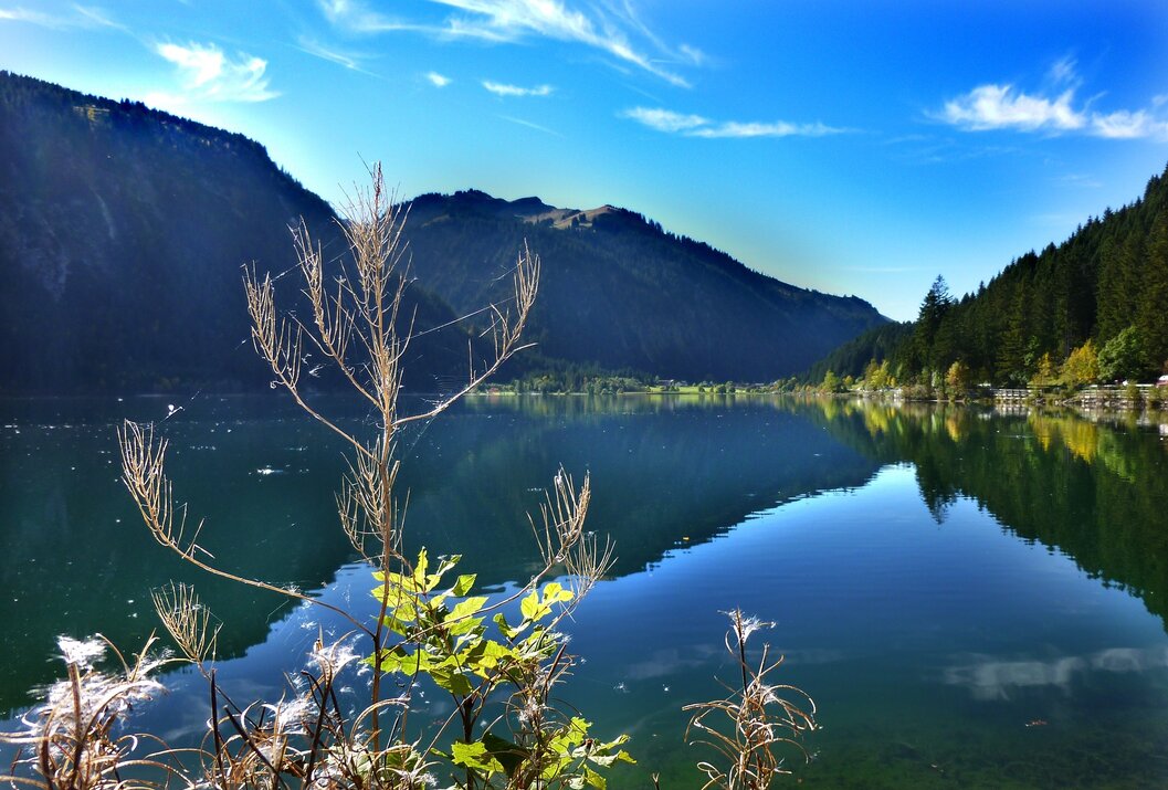
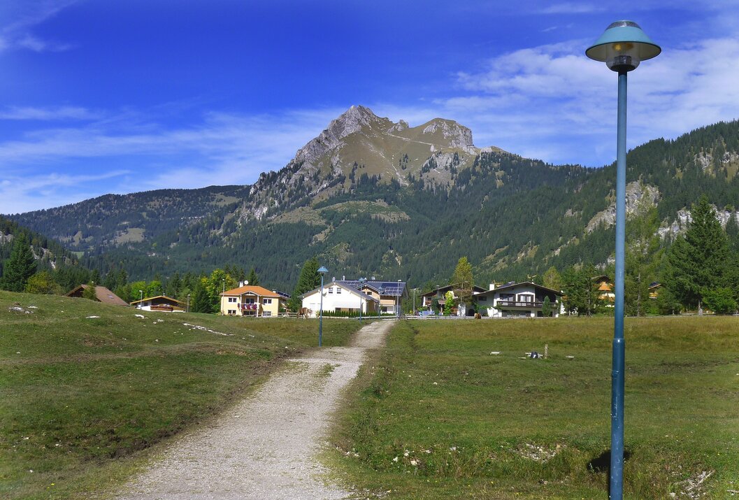
From Grän over a beautiful and well-passable gravel road to Adlerhorst. A wonderful view from Adlerhorst over the Haldensee and the Tannheimer Tal rewards every effort of the ascent.
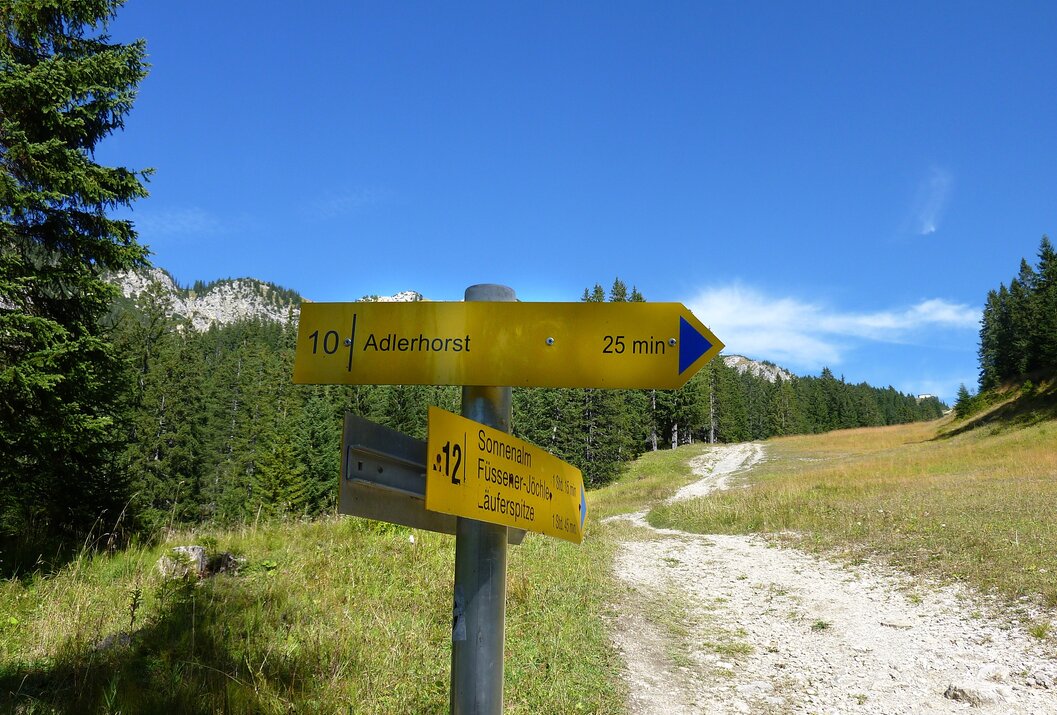
Directions:Closed from Grän until 15.08 due to forestry work!! From the starting point in Grän, above the Burgschenke, the path leads into the grass-covered slope. Moderately upwards, with a good view over the Tannheimer Tal, the hiking trail leads upwards. Through forest and over some clearings we quickly ascend. The path merges into a gravel road with an impressive view of the Haldensee. After a short time, we reach the Adlerhorst. A look down from the terrace explains the name Adlerhorst. The descent to Haller is soon done. Along the lakeside promenade of the Haldensee we reach the village of Haldensee. Across pastureland we go to Grän, just a short climb to the Burgschenke, and we have reached our starting point again. Total walking time approx. 3 1/2 hours
From Nesselwängle on the panorama trail to Adlerhorst, approx. 1 1/2 hours. Descent over the forest road to Haller, and back to Nesselwängle approx. 1 1/2 hours. Total walking time approx. 2 1/2 hours
From Haller via path 413 to Adlerhorst approx. 1 hour. Descent same as ascent. Total walking time approx. 1 1/2 hours.
The view from Adlerhorst, especially a look over the parapet of the terrace railing straight down, is always worth it.
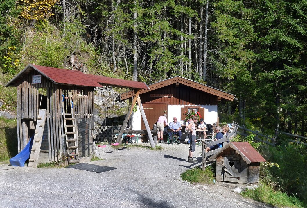
Enjoy the wonderful delicacies of Adlerhorst.
Note that mountain sports can involve an increased risk of accidents and injuries. Despite careful tour planning, a basic risk always remains. Tour preparation through endurance sports, appropriate technical training and further education, as well as personal caution reduce the risk of accidents and dangers. But never forget that the weather in the mountains can change very quickly. Stay on the marked hiking trails.
Equipment:Personal mountain sports equipment must be safe and usable and meet the respective technical standard. Every hiker is recommended to inform themselves about the planned routes in alpine specialist literature or locally.
Additional information:
On the A7 motorway exit "Oy-Mittelberg" take the B310 towards Wertach and Oberjoch. Then follow the signs for "Tannheimer Tal" B199, exit Grän, direction Füssen Jöchl cable car.
From the Tyrol side via Reutte on the B198 towards Lechtal to Weißenbach, over the Gaichtpass along the B199 to the Grän exit, direction Füssen Jöchl cable car.
Public Transit
By train to Sonthofen, Pfronten/Ried or Reutte, then by bus to Grän - Kohlbichl stop.
Parking
You can park in Grän by the Schachen lifts (Kohlbichl)
Adlerhorst variant 1
Informationsbüro Grän
Dorfstraße 1
6673 Grän
