2026 SEEN-LAUF Tannheimer Tal – 7.4 km Nordic walking
Information & interesting facts
Lace up your running shoes......
and off you go through impressive countryside: on Saturday, 30 May 2026, the Lakes Run will take place in the Tannheimer Valley.
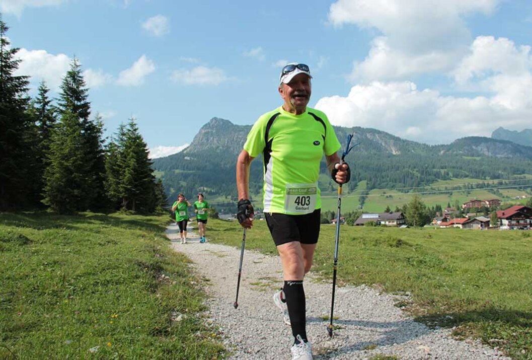
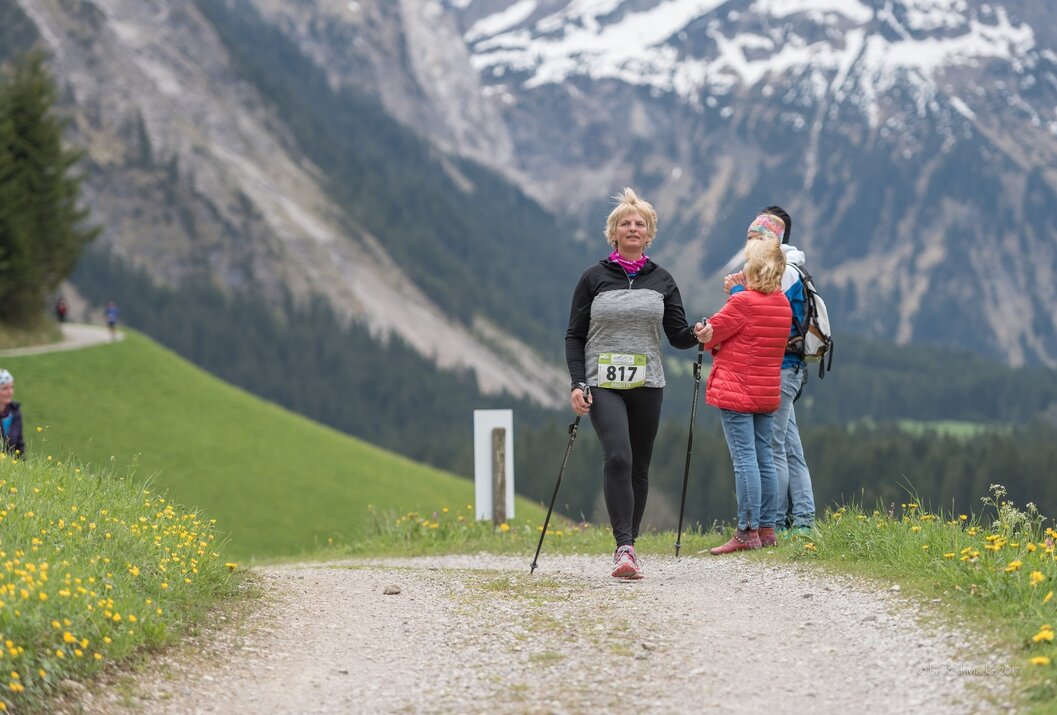
Nordic walkers will also get their money's worth: they will cover the almost 8 km route and compete in a special classification – here, it is not the best time that counts, but the time that is closest to the average time. This puts the fun of exercise in the foreground!
Recommended season:
- April
- May
- June
- July
- August
- September
- October
- Loop
Date: Saturday, 31 May 2025
From 9:00 a.m. Race number distribution and late registrations at the Nesselwängle Sports Centre.
Start/finish location: Nesselwängle Sports Centre
Start at 12:45 p.m.
Award ceremony at 4:30 p.m. at the Nesselwängle Sports Centre
Route:
Nesselwängle – Haldensee – Nesselwängle
Entry fee:
- until 30 April 2025: € 25.00
- until 30 May 2025: € 35.00
- Late registration on site: additional € 10.00
Refreshment stations:
- Station 1 – Haldensee East after 3.4 km
- Station 2 – Finish refreshments in Nesselwängle after 8 km
Classification
Men/Women Junior: under 20 (2010–2007)
Men/Women: Ü20– under 30 (2006–1997)
Men/Women Master M/W30: over 30 - under 40 (1996 - 1987)
Men/Women Master M/W40: over 40 - under 50 (1986 - 1977)
Men/Women Master M/W50: over 50 - under 60 (1976 - 1967)
Men/Women Master M/W60: over 60 - under 70 (1966 - 1957)
Men/Women Master M/W70: over 70 (1956 and older)
Directions:Nesselwängle – Haldensee – NesselwängleTip:
Food and drink stations are set up along the route, where rubbish can be disposed of. It is forbidden to throw away rubbish outside these areas. Anyone who disregards this rule may be excluded from the event by the organiser.Safety guidelines:
The participant acknowledges that during the ‘SEEN-LAUF Tannheimer Tal’ the hiking trails and roads are not closed, all hiking trails and roads are also used by other people, and the Road Traffic Regulations (StVO) apply in principle. Equipment:
The race number will only be issued to the respective participant in person. There is an unofficial finish list for all distances, which serves as a control for the organiser.Additional information:
Seen-Lauf
Whether you are travelling from France, Belgium, Holland or Germany,
northern Europe has direct access via the motorway:
The fastest, easiest and vignette-free way to reach the Tannheimer Tal by car is via the A7 motorway. Turn right at the ‘Oy-Mittelberg’ exit and follow the B 310 federal road towards Wertach/Oberjoch for approx. 15 kilometres. In Oberjoch, turn left towards the Tannheimer Tal.
From Switzerland, you can reach the Tannheimer Tal via
Lindau – Sonthofen or Arlberg – Landeck – Fern Pass – Reutte – Weißenbach > Tannheimer Tal. (No vignette required!)
From Italy or Vienna, take the Austrian motorway
Innsbruck – Mötz – Fern Pass – Reutte – Weißenbach > Tannheimer Tal
or via Rosenheim – Bad Tölz – Garmisch-Partenkirchen – Reutte – Weißenbach > Tannheimer Tal.
Public Transit
Bus:
- Bus connection from Sonthofen to Oberjoch
- Bus connection from Jungholz to Oberjoch
- Bus connection from Oberjoch
- Bus connection from Pfronten
- Bus connection from Reutte
Railway stations:
- Sonthofen: 24 km (bus connection Sonthofen - Oberjoch, Oberjoch - Nesselwängle)
- Pfronten/Ried: 16 km (bus connection Pfronten - Nesselwängle)
- Reutte: 24 km (bus connection Reutte - Nesselwängle)
Airports:
- Memmingen 80 km
- Munich 205 km
- Stuttgart 205 km
Parking
Sports centre car park
Krinnenalplift car park
2026 SEEN-LAUF Tannheimer Tal – 7.4 km Nordic walking
Informationsbüro Tannheim
Vilsalpseestraße 1
6675 Tannheim

