Grän circular trail
Information & interesting facts
Recommended season:
- January
- February
- March
- April
- December
- Loop
- Scenic
- Refreshment stops available
Tyrolean trail quality seal
For two decades, the Tyrolean state government has awarded the Tyrolean trail quality seal to operators of cross-country ski trails under certain conditions.
The Tannheimer Tal is a "cross-country paradise." This is recognized not only by the ADAC Ski Guide 2008, which named the region one of the top 10 ski areas in the Nordic/cross-country category, but also by a special award from the state of Tyrol: the "Loipengütesiegel des Landes Tirol" (Tyrolean Trail Quality Seal). This is valid for three years and criteria such as number of trails, grooming, orientation, and marking are regularly checked.
The Tannheimer Tal features an optimal cross-country skiing environment with a 140-kilometer network of trails and a maximum altitude difference of 50 meters. The routes are suitable for both classic style and skating and offer cross-country skiers of all skill levels suitable challenges.
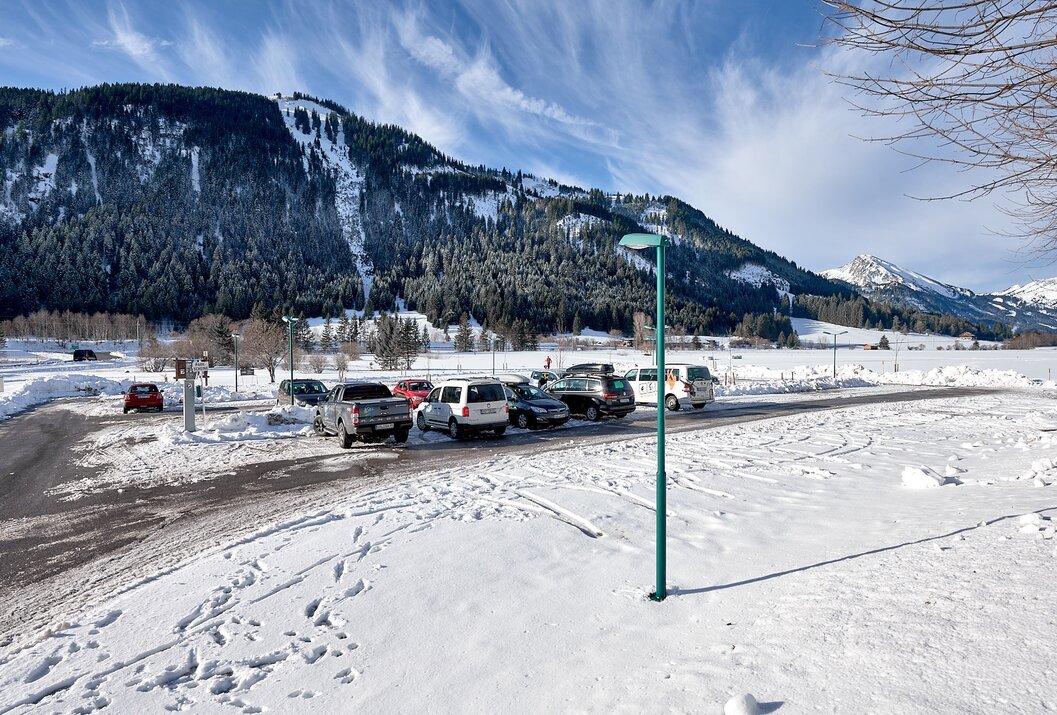
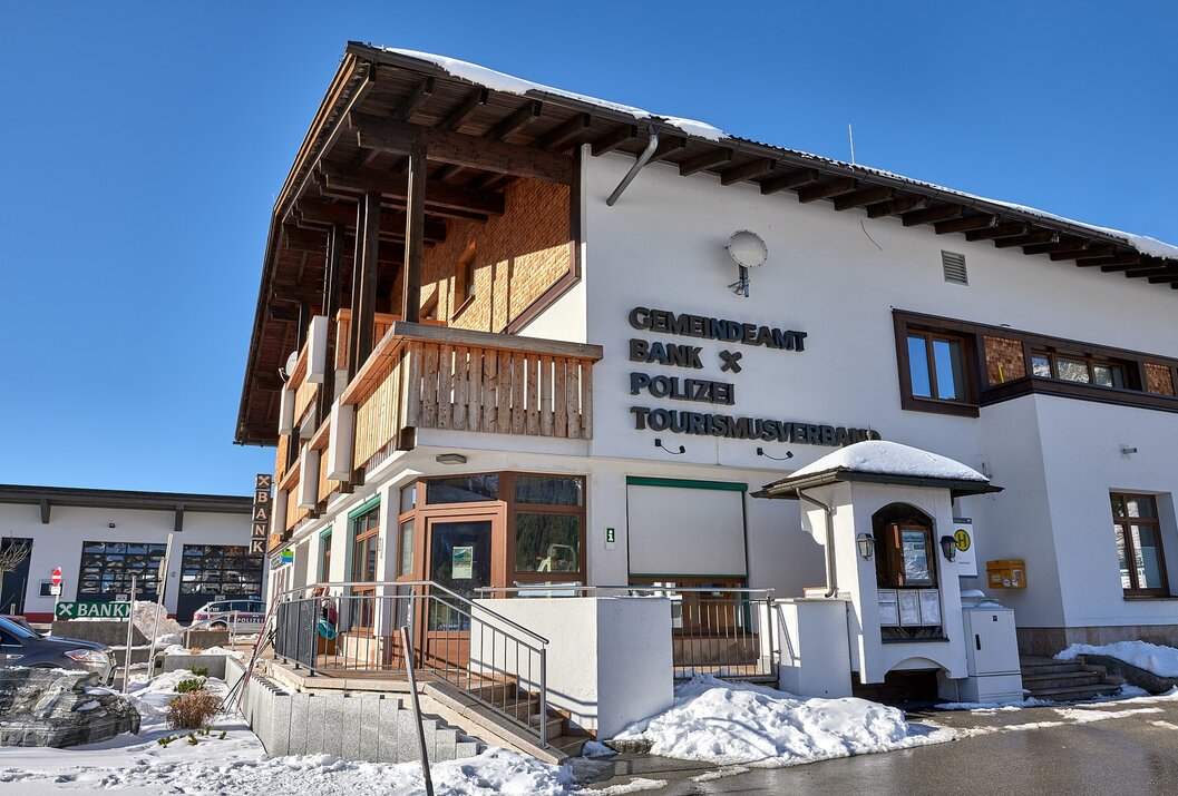
The start of the circular trail is at the car park below the tourist info/municipal office in Grän. The route leads northwest over beautiful wide meadows and loops down to the sawmill below the bridge on the right, over which the trail continues to Tannheim. Along the "Berger Ache," after about 300 meters it passes right through an underpass, after about 35 meters elevation gain we reach the highest point of the tour. From here it goes down to the Haldensee. At the Haldensee, it initially heads west towards the federal road, after crossing it, the trail runs over the "Moos" back to the starting point, whereby the trail is interrupted by the Gräner Landesstraße at the car park.Safety guidelines:
Observe the FIS code of conduct for cross-country skiers!
Confident handling of the sports equipment even in poorer snow conditions and good fitness are prerequisites for cross-country skiing. Choosing the right speed - adapted to skiing ability and fatigue level - significantly reduces the risk of accidents and injuries.
Stay on the route: All routes described here lead on groomed cross-country ski trails. Do not deviate from the route.
The Tannheimer Tal trail map makes your tour planning easier, shows distances, and helps estimate travel time.Equipment:
A modern and well-maintained/serviced equipment (skis, bindings, boots, poles, and clothing) not only provides a significant level of safety but also makes cross-country skiing much easier. Sunscreen (high protection factor and possibly sunglasses) and sufficient fluids should not be forgotten.Additional information:
www.tannheimertal.com
On the A7 motorway at the "Oy-Mittelberg" exit, take the B310 towards Wertach and then to Oberjoch. Follow the signs for "Tannheimer Tal" B199, exit Grän. From the Tyrol side via Reutte on the B198 towards Lechtal to Weißenbach, past the Gaicht pass along the B199 to the Grän exit.
Public Transit
By train to Sonthofen, Pfronten/Ried or Reutte, then by bus to Grän.
Parking
Tourist info/municipal office Grän - chargeable
Grän circular trail
Informationsbüro Grän
Dorfstraße 1
6673 Grän


