Langlaufloipen im Tannheimer Tal
13 of 13 entries
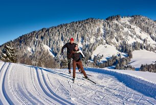
Trail
Cross-country skiing trail Gaichtpaß
Start: Tannheim
Difficulty: Easy
Duration: 4 h
Length: 18,88 km
Altitude:
53 m

Trail
Cross-country skiing trail Zöblen
Start: Zöblen
Difficulty: Easy
Duration: 45 m
Length: 3,89 km
Altitude:
18 m
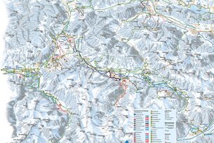
Start: Tannheim
Difficulty: Easy
Duration: 1 h 15 m
Length: 6,47 km
Altitude:
Uphill 28 m / Downhill 27 m
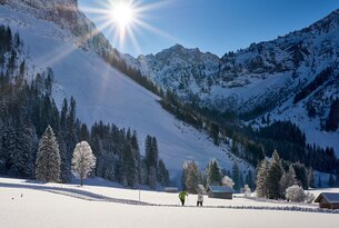
Trail
Cross-country skiing trail Vilsalpsee
Start: Tannheim
Difficulty: Medium
Duration: 2 h 45 m
Length: 13,38 km
Altitude:
173 m
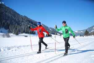
Trail
Cross-country skiing trail Nesselwängle
Start: Nesselwängle
Difficulty: Easy
Duration: 50 m
Length: 3,96 km
Altitude:
6 m

Trail
Cross-country skiing trail SKI-TRAIL
Start: Tannheim
Difficulty: Medium
Duration: 4 h 30 m
Length: 24,14 km
Altitude:
275 m

Trail
Rundloipe Nachtlanglauf Nesselwängle - Variante 2
Start: Nesselwängle
Difficulty: Easy
Duration: 20 m
Length: 1,42 km
Altitude:
9 m
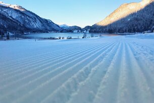
Trail
Cross-country skiing trail Haller
Start: Nesselwängle
Difficulty: Easy
Duration: 35 m
Length: 2,85 km
Altitude:
Uphill 21 m / Downhill 39 m
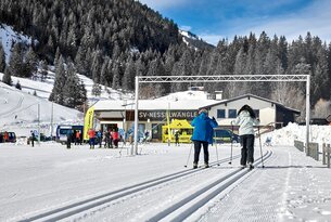
Trail
Rundloipe Nachtlanglauf Nesselwängle
Start: Nesselwängle
Difficulty: Easy
Duration: 20 m
Length: 1,26 km
Altitude:
17 m
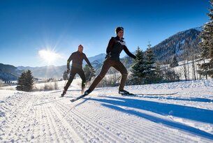
Trail
Cross-country skiing trail Schattwald
Start: Schattwald
Difficulty: Easy
Duration: 1 h 40 m
Length: 8,27 km
Altitude:
25 m
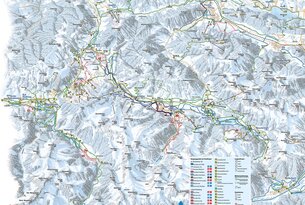
Start: Tannheim
Difficulty: Difficult
Duration: 20 m
Length: 4,33 km
Altitude:
83 m

Trail
Cross-country skiing trail Grän
Start: Grän
Difficulty: Easy
Duration: 1 h 5 m
Length: 5,35 km
Altitude:
Uphill 48 m / Downhill 38 m

Trail
Snowy trail Haldensee - big round
Start: Grän
Difficulty: Easy
Duration: 20 m
Length: 1,27 km
Altitude:
10 m