Tannheimer Tal
Panorama round hike Jungholz -Kappeler Alpe - Pfronten Kappel- and back
Tour-Details
Paths covering:
Short description:
Panoramic circular hike in the foothills of the Alps on interesting, easy paths with several places to stop for refreshments.
Technique: ***
Quality of experience: ******
Recommended season:
- May
- June
- July
- August
- September
- October
Properties:
- Loop
- Scenic
- Refreshment stops available
- Geological highlights
- Botanical highlights
- Insider tip
Description:
From Jungholz in the direction of Pfronten, we enjoy great landscapes, mountains and vantage points. Everyone becomes aware of the nature, water, stone and meadows in the Tyrol and Allgäu that these surroundings hold. Along the well signposted and developed paths we progress to the first partial destination, the Kappeler Alpe. After a short stop, we pass through villages like Kappel and Pfroten, which are characterised by their tradition. Later, along the river Vils, we walk again towards Jungholz. Arriving at the final destination, we reflect on our unique impressions and enjoy this great experience.
Directions:
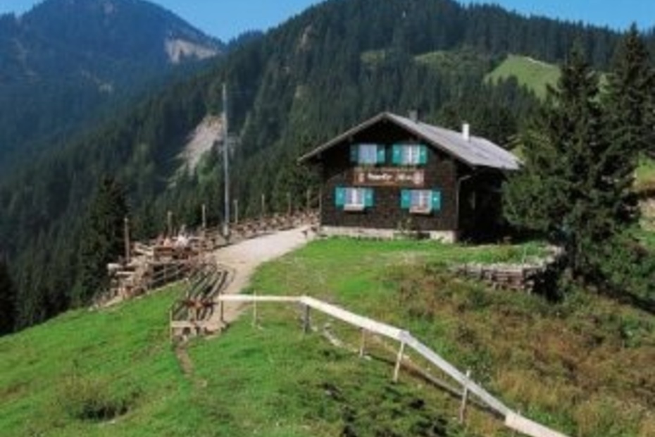
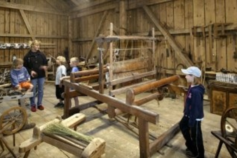
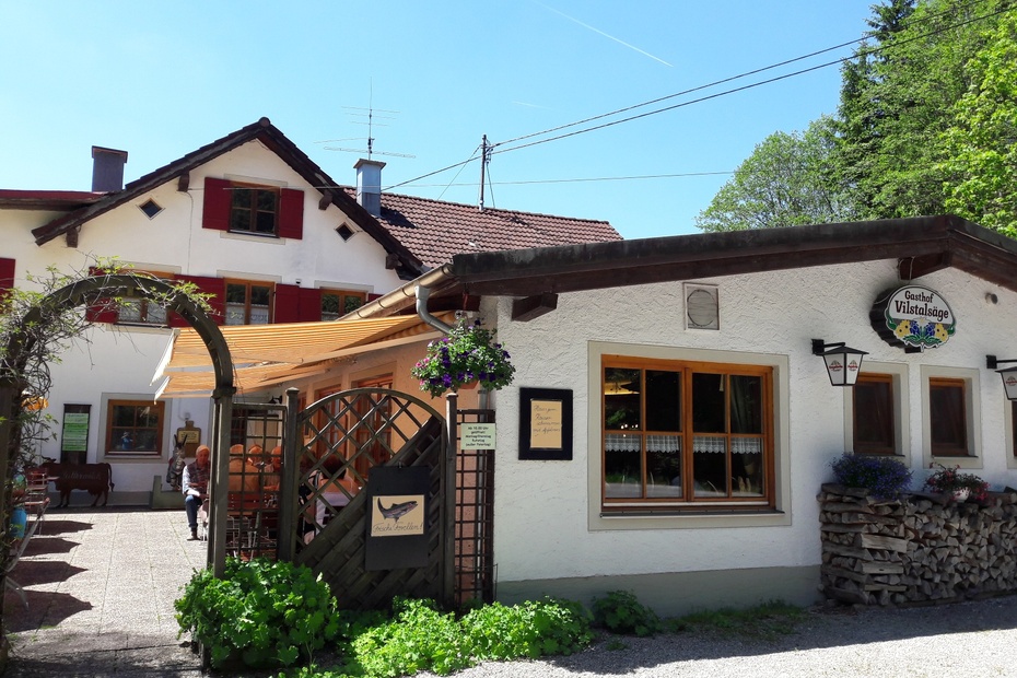
From Jungholz church, we walk uphill towards Alpe Stubental, always on the signposted path. After about 2.5 kilometres, just before Alpe Stubental, we turn off in the direction of Pfronten. Here, too, we stick to the well-signposted paths. We stay on the signposted path throughout and pass the Edelsberg to reach the Ostallgäuer Höhenweg. Pass the Lachner Hütte and walk to the Kappeler Alpe (signposted). After a short refreshment stop, we continue towards the centre of Pfronten - Kappel. We also walk to the Allgäu Stone Experience World to the Hay Museum. From there we walk on to the Halden district. Continue in the direction of Vilsweg and along the Vils until you reach the Vilstalsäge (refreshment stop). From there we continue on the well-signposted paths in the direction of Jungholz. After a hike of almost seven hours, we reach the Jungholz district of Langenschwand again. Another kilometre further on is the end point of the tour, the church in Jungholz.
Tip:
A well-deserved stop at the Kappeler Alpe!
Safety guidelines:
It should be noted that there can be a risk of injury on hikes and walking tours. Despite the most precise tour planning, there is always a residual risk.
Equipment:
Sturdy shoes, suitable hiking clothing, possibly hiking poles.
Getting there
Variant 1: Exit A 7 Oy- Mittelberg, on B310 direction Wertach, Jungholz take exit left. Very good signposting
Variant 2: Accessible via B310 Oberjoch- Unterjoch - exit Pfeiffermühle/Junghol
Public Transit
Daily the bus line operator "Komm Mit" drives to Jungholz from several sides and places
.Bus stop Jungholz is located about 50 metres from the starting point
.Parking
The Jungholz ski lift car park is free of charge all year round. The capacity is around 300 vehicles.
The car park is also the starting point of the tour.
- Spring
- Summer
- Autumn
Informationsbüro Jungholz
Hnr. 55
6691 Jungholz
