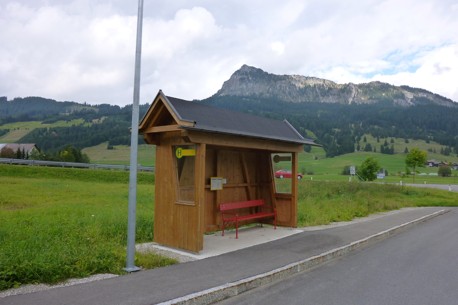
Tannheimer Tal
To the Gaishorn in Tannheim
Tour-Details
Paths covering:
Short description:
First-class summit hike to the highest mountain of the Tannheimer Tal
Technique: *****
Quality of experience: ******
Recommended season:
- June
- July
- August
- September
- October
Properties:
- Loop
- Scenic
- Refreshment stops available
- Geological highlights
- Botanical highlights
- Faunistic highlights
- Insider tip
- Summit route
Description:
High, dreamlike, strenuous, sweaty, unique and simply beautiful... With these adjectives one can best describe the hike to the highest mountain of the Tannheimer Tal. A natural jewel in the Tannheimer Tal . Enjoy an unique view.
Directions:
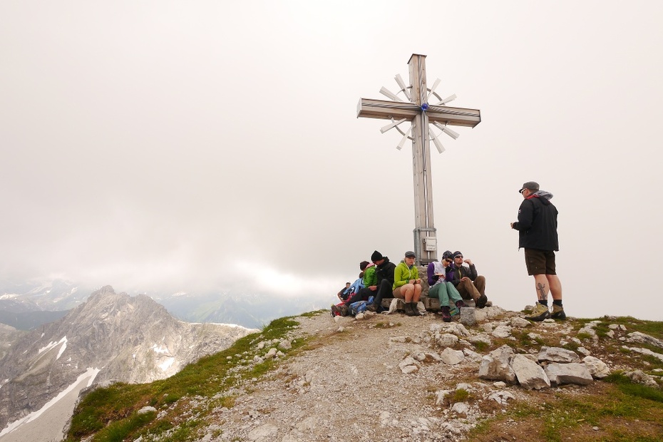
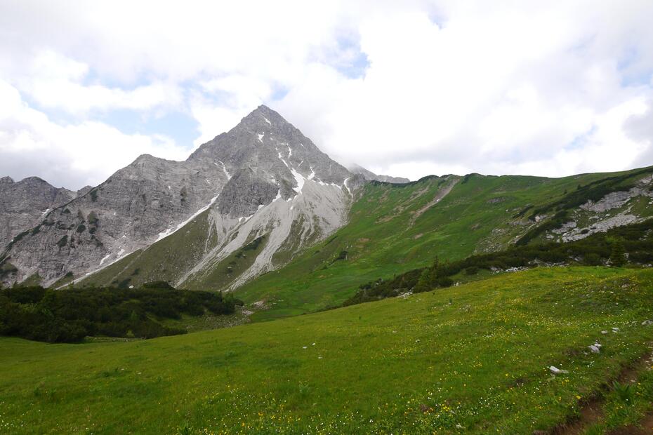
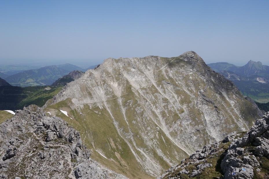
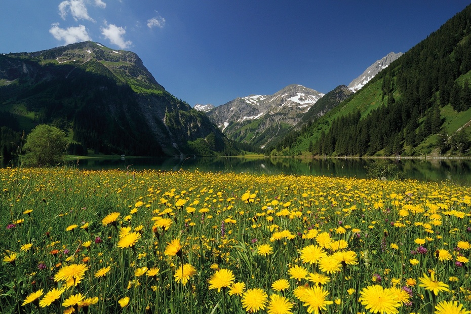
From the parking lot west in Tannheim we start west on the hiking trail towards Älpele/Höfersee. Passing the district Neu-Kienzen we reach a crossroads and follow the signs towards Älpele. Here the hiking trail leads comfortably through the forest until after some time we reach the alpine pasture Älpele. Past the Älpele the steep part of the hike begins gradually. We ascend, past the so-called "Lausbichl", here the path runs serpentine to the Feldalpe. Having reached the high plateau we enjoy the unique view. For the first time we have a clear view of the Gaishorn. A massive and so beautiful mountain stands before us. We cross under the rock and follow the path up to the ridge.From the ridge we see our destination. The newly built summit cross, which was carried up as it is a tradition in the Tannheimer Tal, catches our eye. The blue glass ball in the middle shines in the sun. From the highest mountain of the Tannheimer Tal we have an endless view. We take the descent to Vilsalpsee, here the path is a little steeper but without any problems. When we reach the bottom we walk along the lake shore to the bus stop. From there we take the bus or walk back to the starting point.
Safety guidelines:
General valid and usual rules of conduct!Please note that in mountain sports there is an increased risk of accidents and injuries. Despite careful route planning, a basic risk always remains. Tour preparation through endurance sports, appropriate technical training and further education as well as personal prudence reduces the danger of accidents and risks. However, please never forget that the weather in the mountains can change very quickly. Stay on the marked hiking trails.
Equipment:
The personal mountaineering equipment must be safe and serviceable and meet the relevant technical standards. Every hiker is recommended to obtain information about the planned tours from specialist alpine literature or on site.
Additional information:
Tourismusverband Tannheimer Tal
Getting there
On the motorway A7 at the exit "Oy-Mittelberg" on the B310 towards Wertach and to Oberjoch. There follow the signposting "Tannheimer Tal" B199, exit Tannheim, Neu Kienzen.From the Tyrolean side via Reutte on the B198 towards Lechtal to Weißenbach, over the Gaichtpass along the B199 to Tannheim, exit Neu Kienzen.
Public Transit
By train to Sonthofen, Pfronten/Ried or Reutte, then by bus to Tannheim.
Parking
Tannheim car park west - parking fee
- Summer
- Autumn
Informationsbüro Tannheim
Vilsalpseestraße 1
6675 Tannheim
