Tannheimer Tal
From Gaicht to the Gaichtspitze
Tour-Details
Paths covering:
Short description:
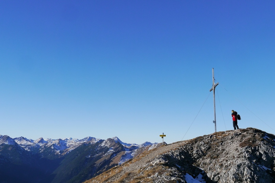
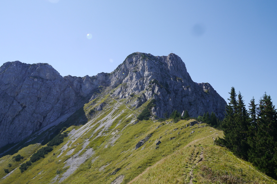
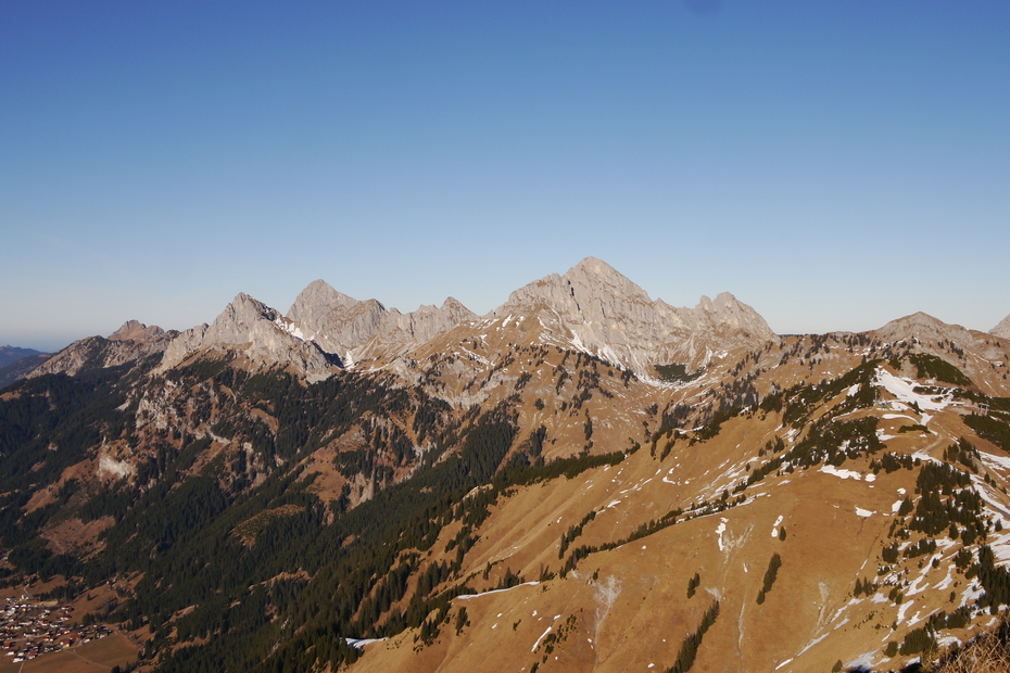
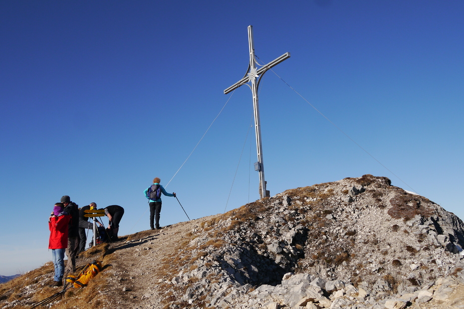
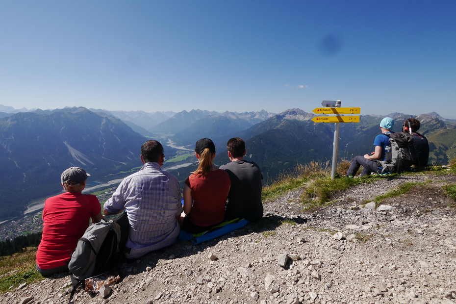
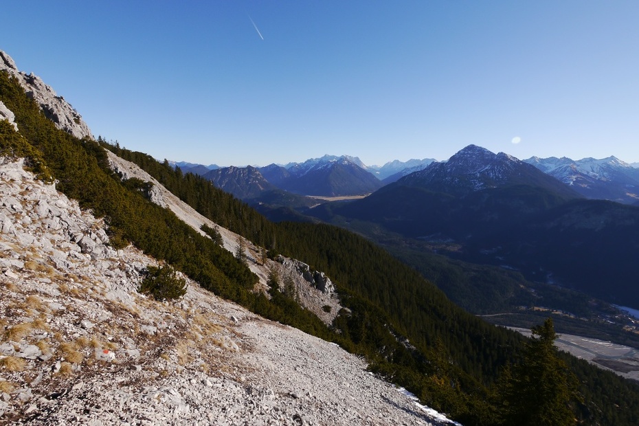
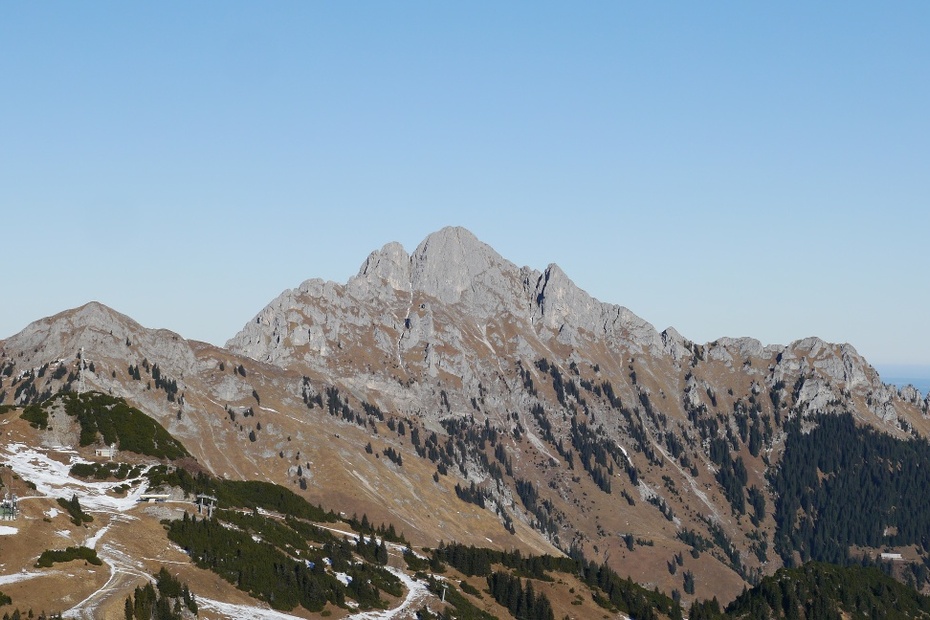
One of the most beautiful views in the whole Tannheimer Tal can be enjoyed from the top of the Gaichtspitze.
Technique: *****
Quality of experience: ******
Recommended season:
- May
- June
- July
- August
- September
- October
Properties:
- Round trip
- Scenic
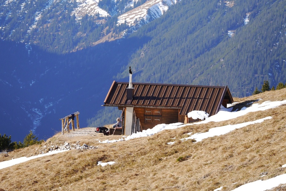
- Refreshment stops available
- Geological highlights
- Botanical highlights
- Faunistic highlights
- Summit route
Description:
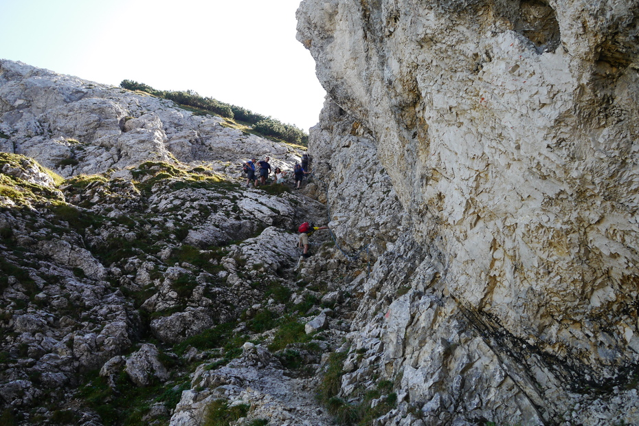
Wonderful hike to the easternmost mountain of the Tannheimer Tal. This hike makes the hiker's heart beat faster. A wonderful natural scenery is waiting for you.
Directions:
Wir starten am Parkplatz neben der Bundesstraße. Hier folgen wir dem Weg in den Weiler Gaicht. Der Ortsstraße entlang bis wir den Weiler Gaicht hinter uns lassen. Nach kurzem Fußmarsch über die Felder startet der Weg zu unserem Ziel der Gaichtspitze. Am Anfang des Weges laufen wir bis zur Baumgrenze im Wald. Danach geht es oberhalb der Waldgrenze zum Gipfel. Nach einer gemütlichen Rast am Gipfel folgen wir dem gleichen Weg zurück zum Ausgangspunkt.
Tip:
Enjoy the wonderful view.
Safety guidelines:
General valid and customary rules of conduct
It should be noted that in mountaineering there is an increased risk of accidents and injuries. Despite careful route planning, a basic risk always remains. Tour preparation through endurance sports, appropriate technical training and further education as well as personal prudence reduces the danger of accidents and risks. However, please never forget that the weather in the mountains can change very quickly. Stay on the marked hiking trails.
Equipment:
The personal mountaineering equipment must be safe and serviceable and meet the relevant technical standards. Every hiker is recommended to obtain information about the planned tours from specialist alpine literature or on site.
Additional information:
Tourismusverband Tannheimer Tal
Getting there
On the motorway A7 at the exit "Oy-Mittelberg" on the B310 towards Wertach and to Oberjoch. There follow the signposting "Tannheimer Tal" B199 until you reach Gaicht. From the Tyrolean side via Reutte on the B198 towards Lechtal until Weißenbach, over the Gaichtpass along the B199 until Gaicht.
Public Transit
By train to Sonthofen, Pfronten/Ried or Reutte, then by bus to Gaicht.
Parking
Public parking in Gaicht.
- Spring
- Summer
- Autumn
Informationsbüro Tannheim
Vilsalpseestraße 1
6675 Tannheim
