Tannheimer Tal
Einstein Variante 1
Tour-Details
Short description:
A perfect hike for connoisseurs, this summit hike offers a complete panoramic view of the Tannheimer Tal and its surroundings.
Technique: ****
Quality of experience: ****
Recommended season:
- May
- June
- July
- August
- September
- October
Properties:
- Loop
- Scenic
- Refreshment stops available
Description:
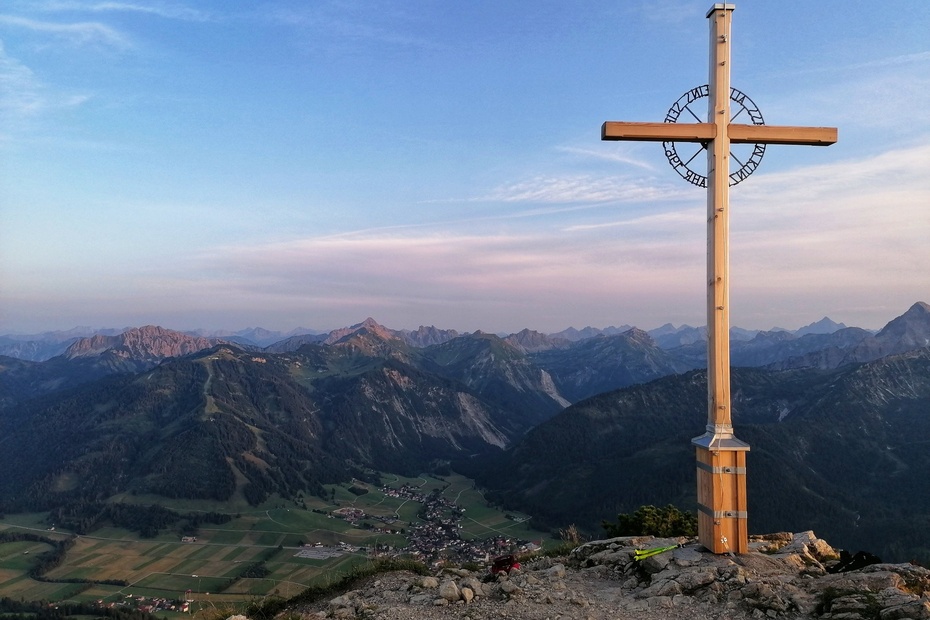
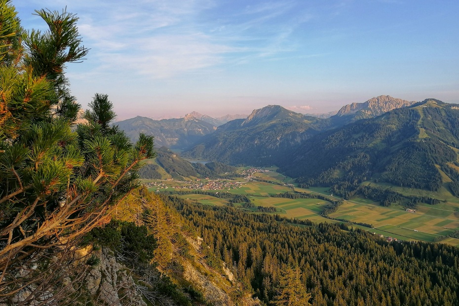
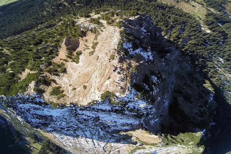
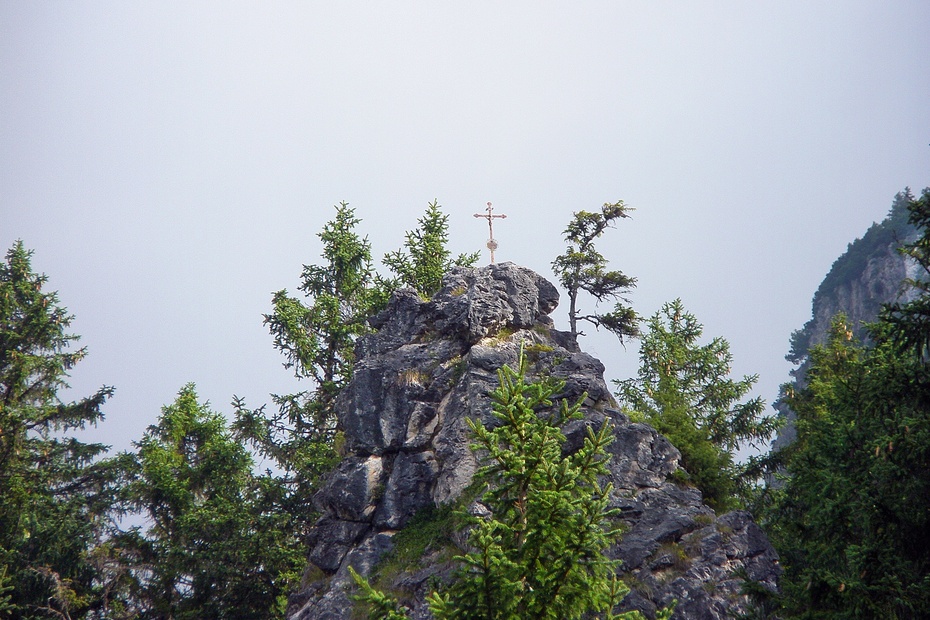
A panoramic round tour from Zöblen to the Einstein. This tour promises an extensive offer. Fantastic flora and fauna with a marvellous view over the Tannheimer Tal. According to rumours you can see the Frauentürme of Munich in the distance on a clear day.
Directions:
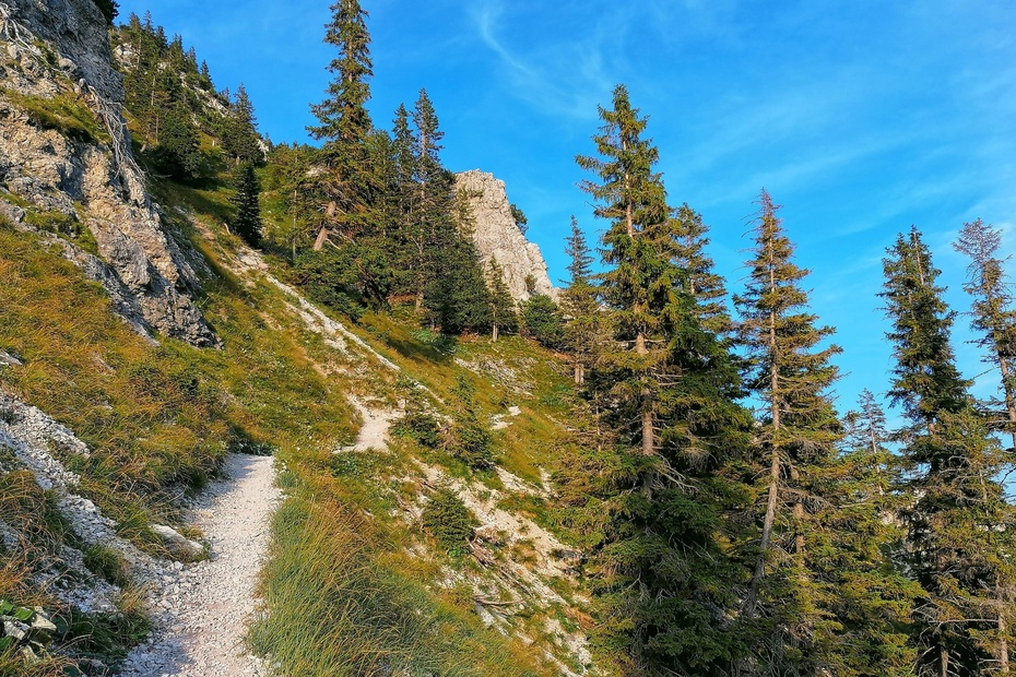
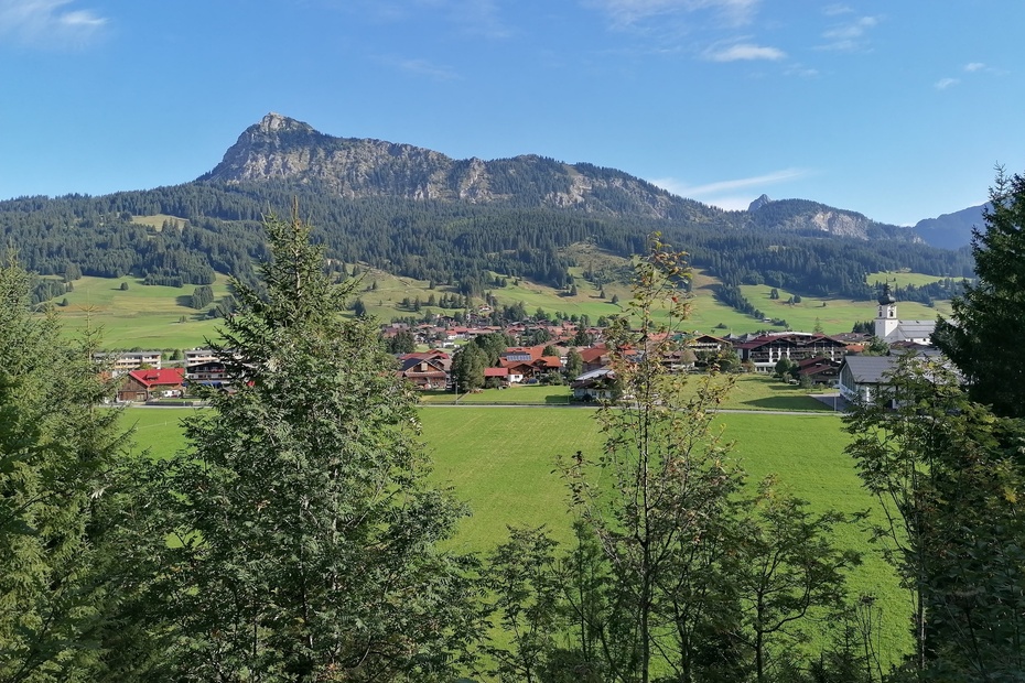
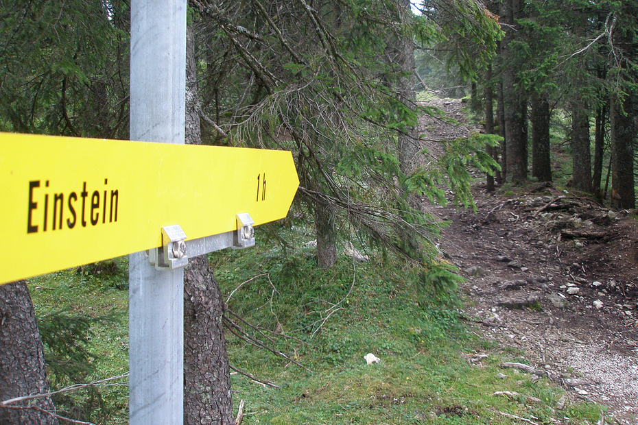
From the West parking in Zöblen you walk uphill to the Berghotel Zugspitzblick. Quickly you gain height on the asphalt road and with it more and more view over the Tannheimer Tal. From the Zugspitzblick, the gravel path goes moderately steeply uphill, alternating between forest and pasture areas. In Lohmoos, which is now slightly downhill, the path turns left following the signs to Einstein. First on a gravel path, then on the hiking trail through the forest, the path leads under the Einstein. Now the ascent begins, first serpentine, then almost along the ridge, to the summit. Wonderful panoramic views are a reward for the ascent. The way back leads us first down to Berg, a district of Tannheim, and on the valley hiking trail further to the starting point in Zöblen.
Tip:
The Lohmoos is a beautiful raised bog, but also a sensitive habitat. Please do not leave the hiking trails and also keep your dogs on a leash - thanks.
Safety guidelines:
It should be noted that in mountaineering there is an increased risk of accidents and injuries. Despite careful route planning, a basic risk always remains. Tour preparation through endurance sports, appropriate technical training and further education as well as personal prudence reduces the danger of accidents and risks. However, please never forget that the weather in the mountains can change very quickly. Stay on the marked hiking trails
Equipment:
The personal mountaineering equipment must be safe and serviceable and meet the relevant technical standards. Every hiker is recommended to obtain information about the planned tours from specialist alpine literature or on site.
Additional information:
Tourismusverband Tannheimer Tal
Getting there
On the motorway A7 at the exit "Oy-Mittelberg" on the B310 towards Wertach and to Oberjoch. There follow the signposting "Tannheimer Tal" B199, exit Zöblen, parking lot at the western entrance Zöblen.From the Tyrolean side via Reutte on the B198 in the direction of Lechtal to Weißenbach, over the Gaichtpass along the B199 to the exit Zöblen, car park at the western entrance Zöblen.
Public Transit
By train to Sonthofen, Pfronten/Ried or Reutte, then by bus to Zöblen.
Parking
Parking at the west entrance Zöblen
- Spring
- Summer
- Autumn
Informationsbüro Zöblen
Gemeindehaus 39
6677 Zöblen
