Tannheimer Tal
Hahnenkamm
Tour-Details
Paths covering:
Short description:
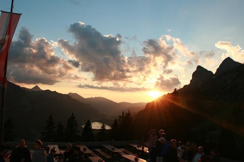
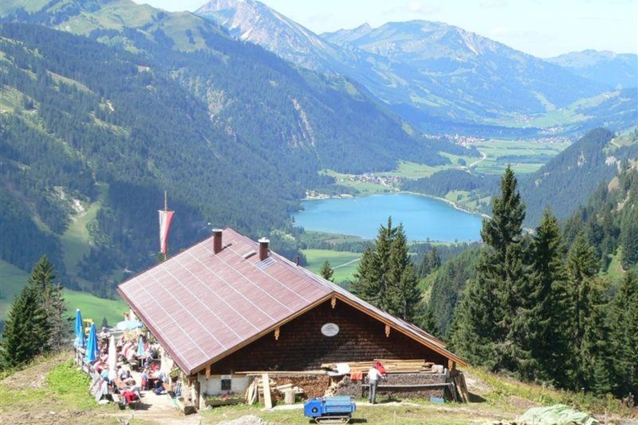
Hike for everyone with amazing views of the Tannheimer Tal, the Lechtal, the Reuttener Talkessel, the Zugspitze to the foothills of the Alps ...
Technique: ***
Quality of experience: ******
Recommended season:
- May
- June
- July
- August
- September
- October
Properties:
- Scenic
- Refreshment stops available
- Geological highlights
- Botanical highlights
- Faunistic highlights
- Cableway ascent/descent
- Summit route
Description:
This hike into the neighbouring valley basin promises a perfect combination of nature and adventure!
Directions:
From the car park you cross a bridge and then follow the signs to the Schneetalalm. From there the ascent to the Hahnenkamm begins, possibly a visit to the Alpine flower garden (no longer supervised), where over 500 different plant species await you, and the Alpine barefoot hiking trail! After a short descent to the top station, you take the cable car down to the valley. From the valley station it is a short walk along the road down to the village of Höfen. At the crossing of the main road you will find the bus stop on the right side, opposite the municipal office.
Tip:
A visit to the Alpine Flower Garden and the Alpine Barefoot Trail, as well as the launch site for paragliders and hang-gliders is very rewarding.
Safety guidelines:
It should be noted that in mountaineering there is an increased risk of accidents and injuries. Despite careful route planning, a basic risk always remains. Tour preparation through endurance sports, appropriate technical training and further education as well as personal prudence reduces the danger of accidents and risks. However, please never forget that the weather in the mountains can change very quickly. Stay on the marked hiking trails.
Equipment:
The personal mountaineering equipment must be safe and serviceable and meet the relevant technical standards. Every hiker is recommended to obtain information about the planned tours from specialist alpine literature or on site.
Additional information:
Tourismusverband Tannheimer Tal
Getting there
On the motorway A7 at the exit "Oy-Mittelberg" on the B310 towards Wertach and to Oberjoch. There follow the signs "Tannheimer Tal" B199, after the village Nesselwängle turn left into the gravel parking lot.From the Tyrolean side via Reutte on the B198 in the direction of Lechtal to Weißenbach, over the Gaichtpass along the B199 turn right before entering the village of Nesselwängle and turn right into the gravel parking lot.
Public Transit
By train to Sonthofen, Pfronten/Ried or Reutte, then by bus to Nesselwängle.
Parking
Coming from the Allgäu you will find the Schneetal car park 150m after the second entrance to the local area Nesselwängle on the left side and coming from the Gaichtpass after the "Welcome to the Tannheimer Tal" sign on the right.
- Spring
- Summer
- Autumn
Informationsbüro Nesselwängle
Hnr. 74
6672 Nesselwängle


